Monday May 21
Today will be our last day of the tour. We will separate from the group at Great Sand Dunes National Park, heading home. The rest will proceed on to Trinidad for another day of scenic byways.
Many times we’ve made the trip from Durango to Alamosa, so I’ll keep the notes short. In keeping with the motif of misinformation about bathrooms, we noted that where there used to be facilities at both the western and eastern feet of Wolf Creek Pass, there is now nothing. Also, we were expecting we’d stop at the scenic overlook on the west side, but that is temporarily closed, being used as a staging area for construction equipment.
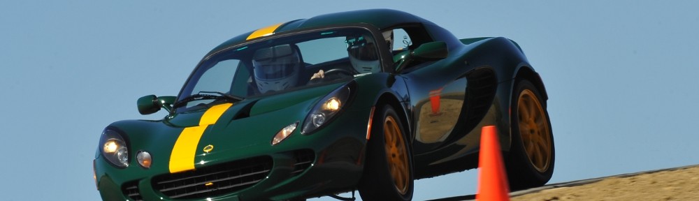
Our route bypassed Alamosa, saving some miles. Just east of South Fork we abandoned US 285 in favor of County Road 5, a direct shot toward the park. Well, not exactly direct. At CO 17 we head north a few yards to County Road 6. These roads are no doubt sufficient for their usual purpose: low speed farm traffic. They’re a bit less than ideal for stiffly sprung sports cars. The ride wasn’t exactly quiet and comfortable. Last time I went to the Sand Dunes I was with Michael in the Chrysler. We went between CO 17 and the Dunes at well over 100mph, slowing only for the cattle guards. In the Elise, 65 was plenty fast.
The last few miles into Great Sand Dunes National Park are on CO 150. On that previous trip with Michael both sides of the road were lined with sunflowers. I’m guessing those weren’t there naturally, as they’re no longer there. It was a nice touch, adding a bit of color.
After a short stop in the visitor center, we headed to a picnic area close to the dunes. Mike found us a place with two large sets of tables and plenty of parking. We were the third car there, and right behind us a minivan arrived and started setting up at the other tables. We warned them that we’d have a big group here which seemed to scare them away. As our crew trickled in, they kept coming to the first table and just when it was about full a large family walked in and snagged the other table. No worries, as we early arrivals finished, we gave our seats to the latecomers.

Atop the first dune
The stream that usually flows off the mountain isn’t running right now. I’m not sure when it typically dries up, but I was expecting to have to wade across it to get onto the dunes. Some kids were playing with their toy construction equipment, digging holes, and we could see the sand was wet under the surface. But definitely no stream in sight.

Intrepid explorers Terry and Peter
We walked to the top of the first small dune and people watched for a while. Gordon struck off for the top of the largest dunes. I was thinking it would take a couple of hours, but he made really good progress to the point where I could no longer spot him. I learned later that he was successful. I suspect that made him the last to leave by a large margin.

Storm and sand panorama; south on the left side, northeast on the right.
While we were standing around on the sand, a rather nasty looking thunder storm was working its way toward us across the valley. We said our goodbyes and started our trek home. It looked like the group would miss the rain as there was a gap in the clouds above CO 150. But to the west it looked like we’d be running the gauntlet. Almost immediately after turning onto the country road we started getting rained on. But our timing was pretty good. A few miles down the road, the tarmac was covered with the remnants of a significant hail storm. Judging by the few tracks through the hail, it must have just finished a couple of minutes before we got there.
These thunder showers are typically pretty localized. Hailstones lined the road for less than a half mile. And we were out of the rain well before we regained CO 17. Showers were spread out across the valley, their drafts kicking up the dust before them as they scooted toward the Sangre de Cristos. We missed most of them, but it looked like we had another chance to get wet as we crossed Poncha Pass.
We missed the heaviest of the rain until just after the junction with US 50. We were in a little knot of traffic when the clouds burst. I had the wipers going as fast as they’d go, but it wasn’t much help. The windows started fogging up almost immediately. Genae worked the defrost controls, and we had the windows cracked. My left arm was getting soaked. The car in front of us gave up and pulled off the road. We continued at about 20mph. Genae got some napkins out and worked on wiping the inside of the windshield. Then it ended, almost as quickly as it began. Driving the straight lines of San Luis Valley I was complaining that I was falling asleep. This sure woke me up!
From there on home the trip was uneventful. We got back to town just in time for evening rush hour and exchanged the wide-open roads and mountain vistas for bumper-to-bumper traffic and suburban Denver.
Another great Colorado Good! A hearty “thanks” to all who participated, particularly to Mike who put it all together.


