June 3
We wanted to get an early start today. Our first stop is the Dinosaur Quarry Visitor Center. It’s a short drive from there to the Quarry Exhibit Hall, and by 9:00 we’d have to take the shuttle bus. So we had breakfast and checked out of the hotel by 7:30.

Fossils in the quarry wall
They built a building over a “wall” of fossils; hundreds in a very small place. There are the bones of Allosaurus, Diplodocus, Stegosaurus, and several other behemoths plainly visible, free to be touched (as long as you don’t climb on the wall). The exhibit hall also includes murals and castings and signs detailing the fossils and the history of the quarry.

Quarry Exhibit Hall
The layers of the Earth are nearly vertical here. One of the layers had a faintly blue tint, which reminded me of the John Day fossil bed that I visited on my Oregon trip a few years ago. I asked about the similarity back at the visitors center but the ranger I talked to had only recently started work there and didn’t have an answer.

Swelter Shelter
We took a quick side trip about a half mile up the road to Swelter Shelter. This is a small site with enough parking for maybe half a dozen cars. Just a couple hundred feet from the road you get to see both petroglyphs and pictographs. A petroglyph is an image chipped or carved into the rock while a pictograph is something that is painted on the rock. The pictographs are somewhat more rare, as they’re more easily weathered. Unfortunately, many modern visitors have left their own marks here as well.

Extinct and large
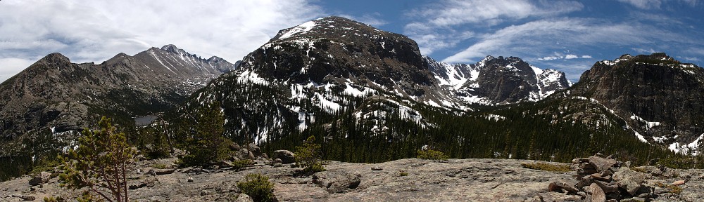
After Dinosaur, back to Vernal then north on US 191. After a few miles the road rises steeply, navigating ten switchbacks taking us from high desert to more mountainous terrain – aspen and pine. The Simplot phosphate mine is visible in places on both sides of the highway. There are a couple of scenic overlooks but we dallied longer than expected at Dinosaur and didn’t stop to take in the views.

Extant and small
For several miles along this route we pass through a number of geological layers; we’re traveling through time. I didn’t have any idea which way we were going, from older to younger or vice-versa. For each layer we traversed there was an accompanying sign by the side of the road: “Morrison formation – where Stegosaurus roamed”. Some referenced “bizarre sharks” or fossilized sand dunes.
Passing through geologic history, we climbed and the terrain changed from high desert to mountain forests of pine and aspen. Flaming Gorge dam was next on our itinerary. US 191 makes a right turn at the junction with UT 44. We continued on 191 to the dam. Here we made notes of what we might see when we come back with the luxury of more time. They give a walking tour of the dam, where you can go deep inside and see the inner workings.

Flaming Gorge dam
On the east side of the dam there’s a road down to a boat ramp on the river. Near the top of this road is a small pullout with a nice view of the face of the dam. We asked some other members of our group if they wanted to go with us but had no takers. By the time we returned to the parking lot half a dozen others changed their minds. That’s okay, though, as there was very little parking.
We headed back down US 191 toward UT 44. Genae was keeping an eye out for a place to pull over so we could get a picture of an interesting bridge we crossed to get to the dam. It’s very much like the bridge at Roosevelt dam near Phoenix. Mike was way ahead of us, though, and had already picked out a spot for a group photo.

Which of these is not like the others?
Next we made another side trip, to Red Canyon overlook this time. There were a number of warning signs: “Steep cliffs. Guard your children!” The view was spectacular. Although we couldn’t hear the boats below us, we could see them clearly. We watched a water skier wipe out. By now it was noon and lunch wasn’t scheduled until we got to Green River. So it was decided we’d change plans and have lunch here. But no food was available; we had ours with us in a cooler (advantage of having cargo space) and a few others had stopped at a Subway in Vernal, but some didn’t have food. So a few cars went ahead of us.
 After lunch we took a side trip down the Sheep Rock Geologic Loop for another group photo. We understood the loop was closed and turned around but found out later that some who didn’t have lunch went this way and the loop was open and “spectacular”. While we were stopped for this photo, I saw Ken messing around at the front of our car. He had a magnetic roundel, and temporarily made our car an honorary Lotus.
The terrain changes dramatically as we cross from Utah to Wyoming, from pine and aspen forest to high desert. Along the way we encountered some of the same signs as we saw in the morning, describing each of the geologic layers we traversed.
We stopped for fuel in Green River, WY. This was our originally scheduled lunch stop. It’s a good thing we adjusted our plan, as it was late afternoon by now.
About this time, I exchanged text messages with Victor. He confirmed that the car was ready. But shortly thereafter he called. He was sorry, but the car wouldn’t be ready until Monday at the earliest. He test drove it, but the fan never came on. Evidently the engine head coolant temperature sensor was bad and the fan wasn’t coming on. They can’t get a replacement part until Monday. I was disappointed, to say the least.
The final leg of the day was a blast eastbound on I-80 to Rawlins. We were gassed up and ready to go, so we hit the road first. It didn’t take long for the modern cars to pass us by, but we had a big enough head start that the older cars were still behind us.
After getting checked in at the hotel we had time for a brief rest before heading to dinner at Aspen House. We can be a bit picky when it comes to dining out. We wanted to go over the menu first, thinking we may head off on our own. They don’t have a menu on their website but the Yelp reviews were pretty good so we said “what the heck” and went anyway. This was a good decision. The restaurant operates in an interesting old Victorian house and the food and service were both good.