Today we drove to Estes Park for lunch. Yesterday I called a couple places up there and asked if they were open and if we’d be in the way if we went up there. “Please come.” So off we went. We drove Genae’s car, not knowing what sort of road damage we’d encounter.
We gassed up and reset the trip odometer and headed west on 88th. This turns into Colorado 72 and goes up Coal Creek Canyon. This road, though, is closed at least until November. We head six miles south to Golden Gate Canyon and up to Colorado 119 north of Blackhawk. Here the traffic started getting heavy. Not many RVs, but lots of side dump trucks running in both directions.
North of Nederland we started seeing evidence of rock slides almost everywhere the road makes a rocky cut. A crew was filling a dumptruck with fallen rocks where the road makes a long cut just before Allenspark. When we passed the turn for Wild Basin, I noted that we’d been driving for two and a quarter hours. In the morning, before traffic, I could probably get to the trailhead in two hours. So a hike here has as long a drive as about any west side hike.
The most dramatic flood damage we saw was at Camp St. Malo. There’s a huge pile of debris on the west side of the road. It looked like the road had been closed here at some point.

Flood debris at Camp St. Malo
The road along here must have looked more like a river. Most of this section of road is narrow because it has no shoulders. The white line marking the lane really marks the edge of the asphalt. Water ran along the edge of the road, washing away big channels of earth.

Landslide on Twin Sisters
It’s clear that an incredible amount of water fell here. There’s a large landslide on Twin Sisters. The bathtub ring in the debris at Camp St. Malo was about eight feet above the top of the rubble. And standing there, you can see a fresh scar on Meeker as well.
After Lily lake the road descends steeply. Here the water undermined the edge of the southbound lane, causing chunks of asphalt to break off, even in the stretch that was recently repaved.
I thought we’d see if we could go far enough down Fish Creek road to go by the house on Rams Horn but it was closed above Carriage Dr. In any event, it had taken over two and a half hours to get here, and we had to be back home by four at the latest so we didn’t have much time. The plan was to grab pizza over by the Safeway then see if I could get some cheese corn at the Carmel Crisp and finally grab some beer at the brewery. So we headed straight to the restaurant – Village Pizza.
I can’t recall ever seeing fewer cars in that parking lot. The place looked closed, but the sign said open so in we went. We were the only people there. Three or four other tables were seated within minutes of us. After enjoying our pizza we headed downtown. I was pleasantly surprised. You could hardly tell the place had been flooded. Plenty of available parking near the post office.
We popped into Carmel Crisp and got some white cheddar jalapeno popcorn. They’ve been there for 38 years and I’ve probably been buying cheese corn there that long. The place really hasn’t changed in my memory, except that they sometimes put another little snapshot on their wall. They have one showing damage from the Lawn Lake flood in ’82.
I asked how long they were out of commission. They said just a short while. They had to wait for their inspection sticker but had the place cleaned up in a couple of hours. They had very little water in their shop. Some time ago their neighbors remodeled and put a wall very close to their front door. Their door is angled, and this wall sort of impedes traffic flow. They went to court over it at great expense but lost. In the end, it diverted the water enough to save them some grief.
Next, pick up some beer. We head up West Riverside Drive, not seeing much damage. Different story at Fun City, though. A fair amount of debris there. After grabbing some Stinger wild honey wheat and Estes Park Gold, we continue up Riverside. I’m happy to see that things aren’t as bad as I’d feared. We didn’t driver through Manor RV but considered it. We did drive slowly to get a good look and saw nothing out of the ordinary.
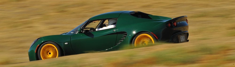
Up Marys Lake Road and back to 7. Traffic was pretty bad all day. We often saw strings of twenty and thirty cars in the other direction. On the way back was saw more sports cars, sometimes two or three together but nobody was even moving the speed limit. Side traffic often had long waits to cross or enter the highway.
It was more than 180 miles round trip, total elapsed time a tad over six hours but not much time spent in Estes. The roads were in good enough shape to take the Lotus but traffic sucked. But we did make it back in time. We had a date to see a movie, but that’s another post.