Ed and I planned on hiking to one of the several glacial knobs in the vicinity of Mills Lake or The Loch. I was going to leave the house by 7:15 or so to meet him at his place. Unfortunately, the Fern Lake fire had been fanned during the night by winds gusting to 75 mph, causing the park to be closed. Highway 66 was closed and everybody west of Mary’s Lake road had been evacuated. The fire burned three miles to the east in a half hour during the early morning hours. The Fern Lake fire has now been burning nearly two months and has consumed over 3500 acres, including Moraine Park.
So Ed suggested a Plan B – we hike to the top of Button Rock Mountain. The trailhead is a short distance up the road to Big Elk Meadows, just past Pinewood Springs on US 36. The hike starts up a rough four-wheel-drive track before heading cross country on a trail Ed has been working on for a couple of decades.
In the lower elevations, forest service crews are clearing the dead trees. First they cut up the dead wood and stack it in cones, very similar to what the park service has done along the roads in RMNP. In the park they’ve been burning the cones when conditions are favorable. Here, though, they use a large chipper. We couldn’t see the chipper in action, as it was on the opposite slope of a ridge we hiked away from, but we heard it operating from the time we put boots on the trail until about lunch time. As we gained elevation we could see the extent of the area already cleared. This is a substantial amount of work.
I wonder how much of a difference it makes clearing the dead trees this way. The wood is still there, just in a different form – chips spread out over the forest floor instead of being in log form. Not as concentrated, closer to the ground, I guess it won’t burn as easily or as hotly.
I’d never have found Ed’s trail without his guidance. The lower part of his trail was covered by chips laid down in the last couple of weeks. Before long, we got to an indistinct trail. As we hiked, he pointed out rocks he’d moved, or trees he’d cut or rearranged. He doesn’t want the trail to be too obvious, but easy enough to follow once you’re on it. When we neared the summit, the trail again became to vague for me to follow without his help. Near the top was a picnic table made from dead trees – trunks sawn in half with a chainsaw.
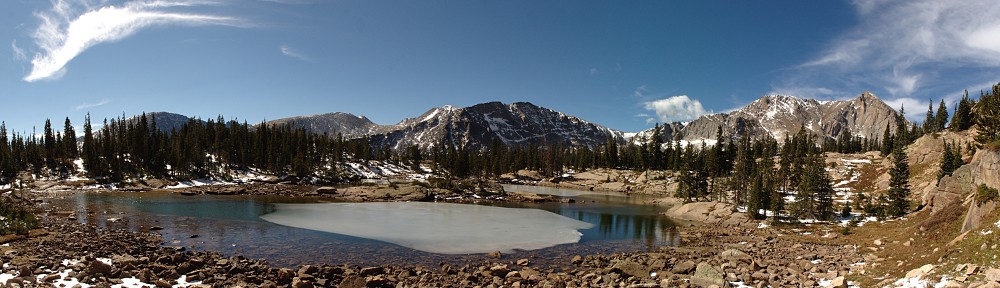
 The view from the top was quite nice – Longs Peak and Twin Sisters pretty much due west; the peaks of Wild Basin to their left, and the summits of the Mummy Range not totally obscured by intervening terrain. All the summits were snow capped and shrouded by clouds. Smoke from the Fern Lake fire was faint but visible, smearing the sky along the horizon.
The peaks to the west are too far away for any interesting time lapse footage from the GoPro. And I’m disappointed once again with battery performance from the SLR. I charged both batteries a couple of days ago. The Canon battery was pretty much dead from the start and the after market battery only lasted for 100 shots.
The hike was a nice change of pace, but all in all I prefer hiking in the park. As I said, we could hear the chipper running continuously for about three hours. Our hike was also punctuated by more or less constant gunfire. And along the four-wheel-drive road there was quite a bit of trash ranging from water bottles and broken plastic to spent shotgun shells and even discarded clothing.