Friday, July 22
Today was a day of waiting for pilot cars at road construction sites. I had eight, and the one on US 50 east of Gunnison had me behind at least a hundred cars.
I’ve driven Durango to Denver (or vice-versa) dozens of times. Somehow, I’ve never taken CO 149. LoCo did the road a couple of years ago, but we didn’t participate in that drive. Today I rectify that oversight. I’m driving it south to north, which is start to finish according to the mile markers.
The upper Rio Grande flows through a U-shaped valley, open and grassy, forested only on the slopes. There is a railroad as well as the highway; each runs along one side of the valley or the other. They often switch sides, crossing each other and crossing the river. At Creede, the road makes an excursion up a gully, makes a U-turn, and returns to the main valley. The forests on the southern ridge are almost completely beetle-killed. The road leaves the Rio Grande and starts climbing Spring Creek Pass. I’d been running topless all morning. When it started sprinkling here I stopped and mounted the top. For once I got the timing right – it rained heavily moments later.
With the mounting of Spring Creek Pass, the road goes into its second phase, a pair of two lane mountain passes. Many of the epic pass roads of yore have been widened and lost much of their character, including two today, Wolf Creek and Monarch. Although this route gets more traffic than I expected, it’s not likely to be widened anywhere along its length for some time. Climbing the pass, they’ve removed about sixty yards of beetle-kill on each side of the road, leaving only an occasional survivor standing sentinel.
Spring Creek Pass was in use by the old Taos trappers in the 1820’s as the shortest summer route from Taos to Gunnison country. It appears as Pass of the Rio del Norte on the R. H. Kern army map of 1851. It was also occasionally referred to as Summer Pass. It tops out at 10,858’ and crosses the Continental Divide. (This is the second of three CD crossings of the day. The aforementioned Wolf Creek and Monarch are the first and third.)
A few miles later the road crosses Slumgullion Pass, five hundred feet higher than Spring Creek Pass. It was named by pioneers from New England. Slumgullion is the multicolored refuse produced by butchering a whale. These New Englanders thought a large rock slide on the west side looked like slumgullion and thus the name. I don’t know if that slide is visible from the road; I didn’t know to look for it. Instead, I was too impressed with the result of beetle-kill removal at the summit. The entire saddle of the pass has been cleared giving an impressive view of the mountains beyond. The extensive beetle-kill is not a happy sight, but this view is a positive side-effect.
After the passes you descend to Lake City. We arrive here in a string of traffic, the result of a long wait for a pilot car where they’re repaving the road a few miles up the hill. The town clearly makes it’s living catering to those who fish and hunt. It’s very rustic. For about three blocks, I saw no cars. There must have been fifty Jeeps in a row. ATV rentals everywhere.
The third phase of CO 149 begins now: the descent through a narrow canyon carved by the quickly flowing waters of Lake Fork, a tributary of the Gunnison.
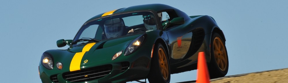
It’s a very scenic and fun drive. I was able to have long stretches where I could maintain a bubble around me – nobody in front to deal with, nobody coming up from behind. There’s no need to go particularly fast to enjoy the road. There are a number of long sweeping turns, like the carousel at Road America, easily enjoyed at sixty.
Going this way, using CO 149 and US 50 to replace the San Luis Valley, requires an additional investment in time. It doubles the time it takes to get to Salida to four hours. I will look to take this route again on a future drive to Durango, as long as I have the time to spare. You haven’t really driven a road unless you’ve gone both directions, have you?
I grabbed a quick sandwich in Gunnison and promptly got stuck in the longest line of traffic of the day. Although I had a good view of the road ahead, I couldn’t see far enough to see the flagger. I was easily behind a hundred vehicles. I probably passed thirty ascending Monarch. From here on home there was always somebody in front of me. At least I wasn’t leaving Denver – 285 coming out of town was stopped for miles.
Home again, home again, jiggety jig.