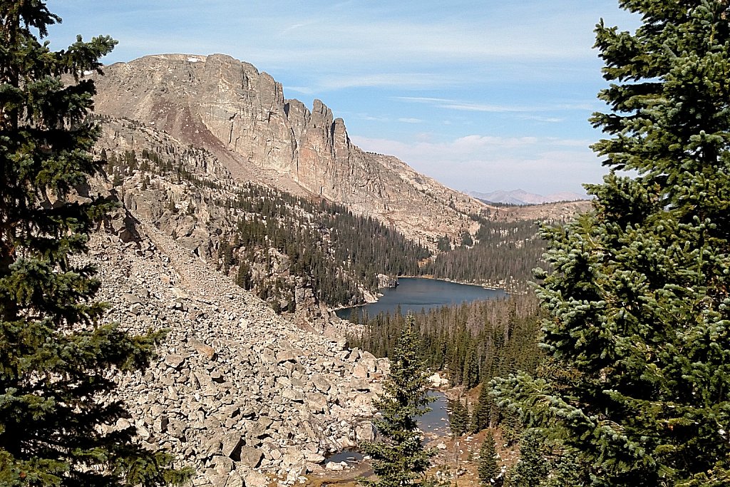
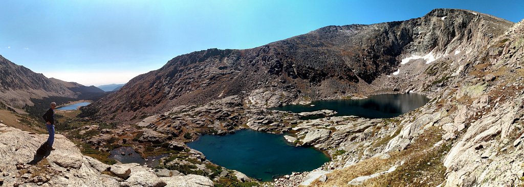
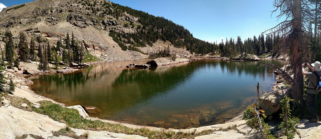
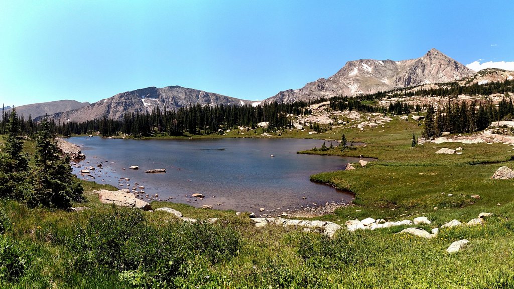
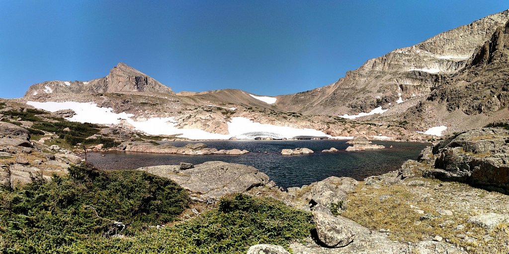
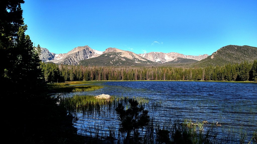
Share Album Published September 29, 2020 'Lake Catherine' Trailhead: North Inlet Via: Lake Nanita Distance: 12.8 mi Elevation Change: 1,800' Cross the outlet from Lake Nanita and follow the game trail along the lake shore. Head southeast up the slope to a saddle about 600' above Nanita. At the top of the saddle, head downhill, starting almost due south before turning to the east. Lake Catherine is at the bottom of this slope. Note that the elevation change is net; you'll be climbing much more than that!
Share Album Published September 25, 2020 Lake Nanita (1 new item) Trailhead: North Inlet Via: Lake Nokoni Distance: 11.1 mi Elevation Change: 2,280' Continue south from Lake Nokoni. The trail zigzags up to a saddle for about three tenths of a mile, then descends gradually six tenths of a mile to Lake Nanita.
Share Album Published September 5, 2020 Crystal Lake and Little Crystal Lake (1 new item) Trailhead: Lawn Lake Via:Lawn Lake Little Crystal Lake Distance: 7.7 mi Elevation Change: 2,960' From Lawn Lake, follow the trail toward The Saddle as it continues beyond treeline into an open vally. About a mile above Lawn Lake there's a spur trail off to the left that heads toward Fairchild Mtn. Follow this to Little Crystal Lake which sits surrounded by large boulders. Crystal Lake Distance: 7.9 mi Elevation Change: 2,960' Continue southwest a short distance past Little Crystal Lake to reach Crystal Lake.
Share Album Published August 8, 2020 Castle Lake (1 new item) Trailhead: Wild Basin Via: Lion Lake #1 Distance: 6.6 mi Elevation Change: 2,640' Just before arriving at Lion Lake #1, about when it comes into view, contour southeast along a bench for a bit over a quarter mile.
Share Album Published August 8, 2020 Lion Lake #1 (1 new item) Trailhead: Wild Basin Distance: 6.3 mi Elevation Change: 2,580' Take the Wild Basin trail to the campground cutoff, just before the bridge over the river. This shortcut saves a few tenths of a mile, but skips Calypso Cascades and Ouzel Falls. Not long after returning to the main trail (to Thunder Lake), take the spur trail to Lion Lake #1. The climb isn't that steep, but it is unrelenting until shortly before the lake.
Share Album Published August 8, 2020 Lion Lake #2 (2 new items) Trailhead: Wild Basin Via: Lion Lake #1 Distance: 6.9 mi Elevation Change: 2,920' Follow the faint trail along the east shore of Lion Lake #1 towards Trio Falls. Climb north up the rock wall and work through willow and krumholz to Lion Lake #2.
Share Album Published August 8, 2020 Snowbank Lake (1 new item) Trailhead: Wild Basin Via: Lion Lake #2 Distance: 7.1 mi Elevation Change: 3,021' From Lion Lake #2, make the short hike to the bench that holds Snowbank Lake.
Share Album Published July 24, 2020 Julian Lake Trailhead: Onahu Creek Distance: 5.9 mi Elevation Change: 2,320' About three miles up the trail, the trail crosses Onahu Creek for the second time. A few yards past the bridge there's an unimproved trail that follows the creek. Follow this as long as you can. Try to stay on the game trails. You will find yourself more than once in a jumble of deadfall that makes for difficult going. Eventually you will arrive at a very large meadow. Stay on the firmer terrain around the west edge until you find the well-traveled game trail that goes up the hill. This trail will take you all the way to the outlet of Julian Lake.
Share Album Published July 16, 2020 Murphy Lake Trailhead: Green Mountain Distance: 11.2 mi Elevation Change: 2,420' There is another route, but this is the one I took. Hike up the Green Mountain trail to the junction with the Tonahutu Creek Trail. Head north. The trail goes around Big Meadow then through the burn scar from 2013. After more than seven miles, the trail climbs to treeline. At about 11,400' elevation, leave the trail and countour southwest. Pass two unnamed ponds and continue across alternating talus and grassy fields to Murphy Lake.
Share Album Published July 12, 2020 Haynach Lake (4 new items) Trailhead: Green Mtn Distance: 8.7 mi Elevation Change: 2,260' The Green Mtn trail goes 1.8 miles to Big Meadows, where it meets the Tonahutu Creek Trail. Head north for six tenths of a mile to the next trail junction. Head east, continuing up Tonahutu Creek and through the Big Meadows burn scar. Watch for the spur trail that heads north to Haynach Lake.
Share Album Published June 17, 2020 "Beautiful Lake Marv", "Zone Lake", and "Joyce's Pond" (3 new items) These three lakes are officially unnamed.
Share Album Published May 30, 2020 Cub Lake Trailhead: Cub Lake Distance: 2.3 mi Elevation Change: 540' The trail heads south at first then turns west, passing beside a series of beaver ponds. After this mostly flat section, the trail rises through an aspen grove before arriving at the eastern end of Cub Lake. This area was burned during the Fern Lake fire of 2012.