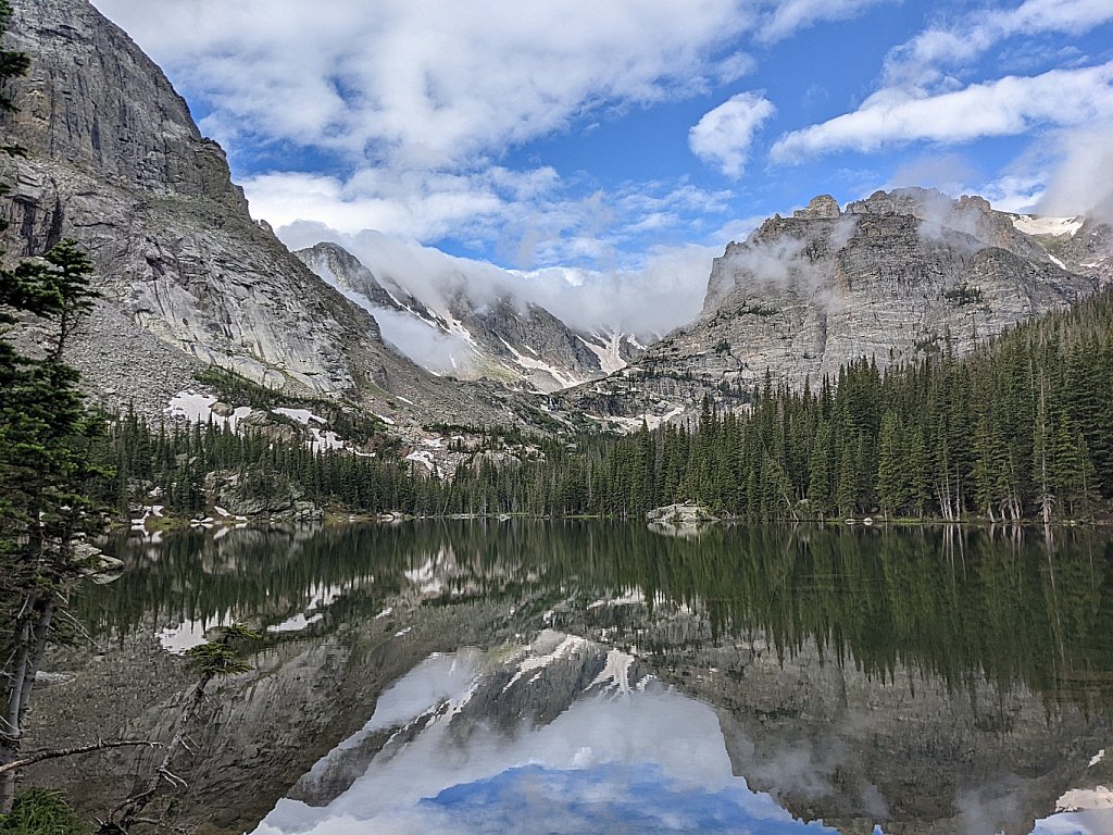
The Loch
Trailhead: Glacier Gorge
Distance: 2.9 mi
Elevation Change: 1,000'
The distance cited above is based on hiking by Alberta Falls. Taking the "Fire" trail reduces the distance by about a half mile. The trail by Alberta Falls is one of the most popular in the park, so be prepared for crowds at all times of year. After Alberta Falls, the trail skirts the south flank of East Glacier Knob before arriving at the junction of trails to Mills Lake, The Loch, and the unimproved Haiyaha trail (as well as the "Fire" trail). Follow the signs to the Loch. The trail zig zags up the hillside north of Icy Brook before depositing the hiker on the east shore of the Loch.
In winter, from the trail junction simply proceed up Icy Creek to the lake.
-
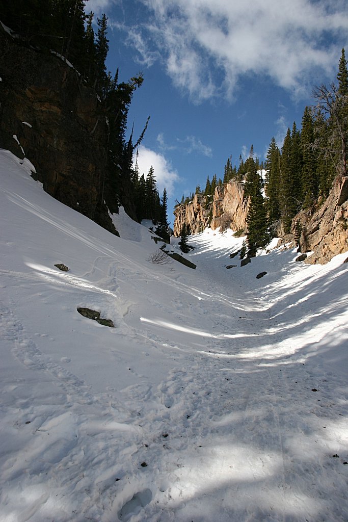
Winter Route to the Loch
-
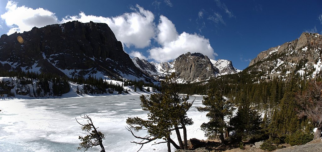
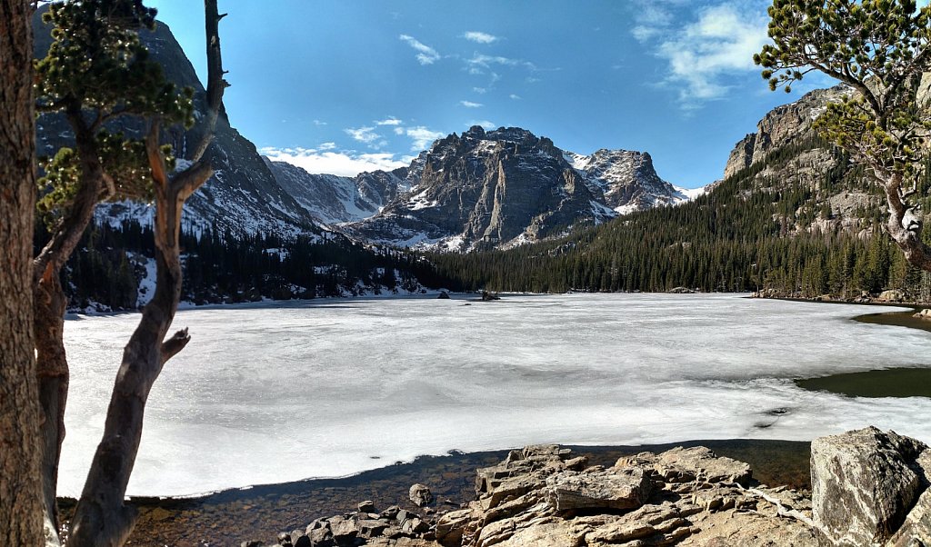
The Loch pano
-
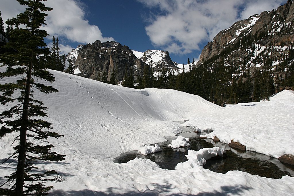
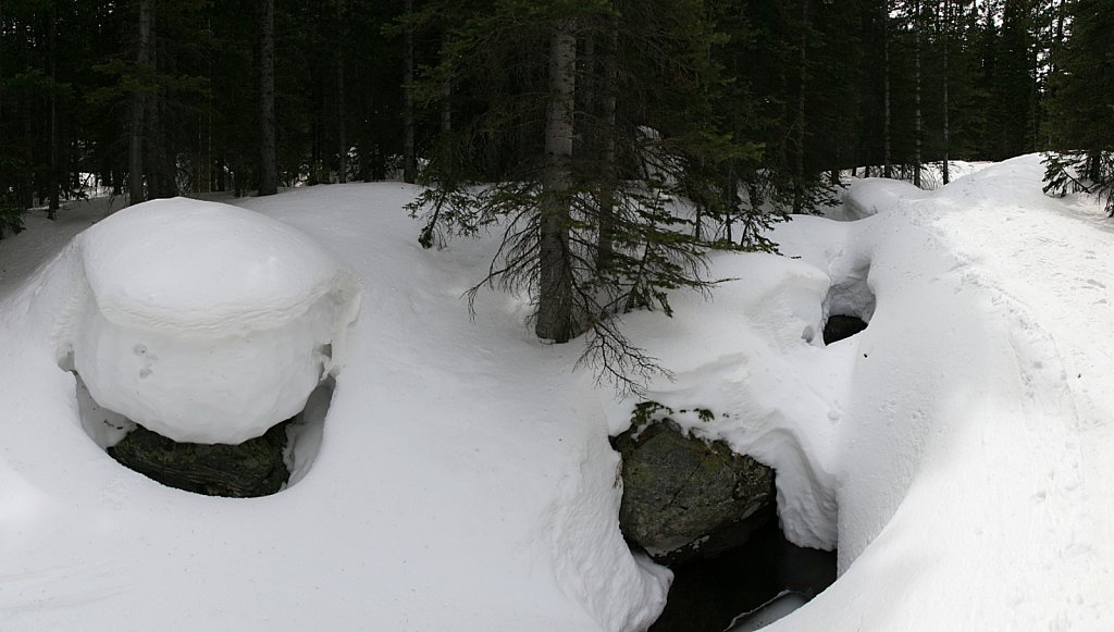
Snow at the Outlet
-
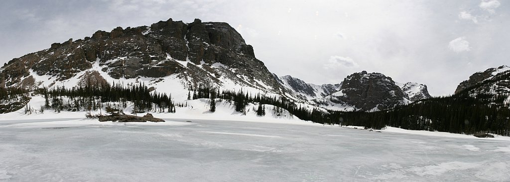
Winter pano
-
Icy Brook
-
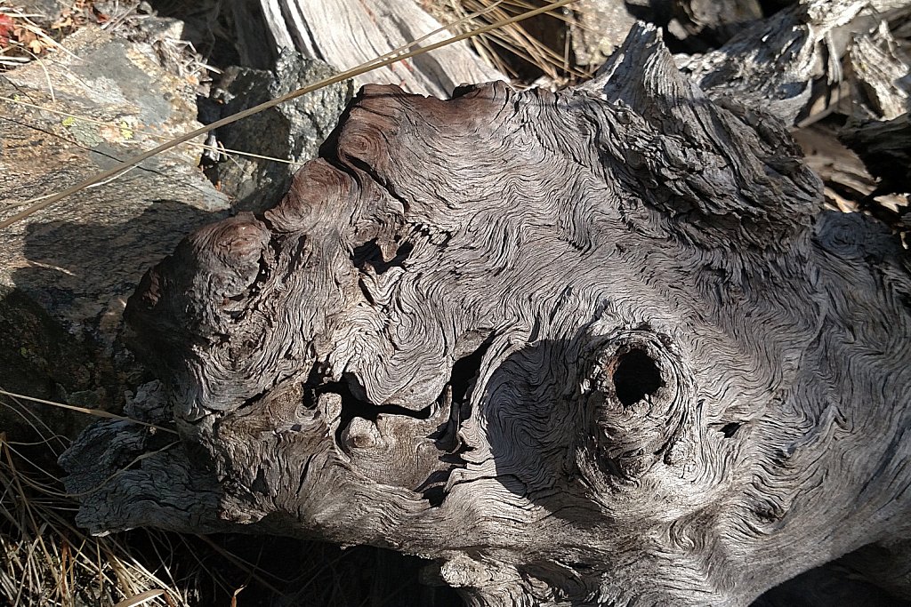
Singed Deadwood
This is a remnant of the fire of 1900. I thought the grain was interesting.
-
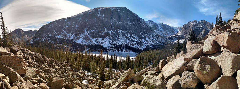
Thatchtop
The view from the talus field on the slope north of the Loch.
-
Autumn Ice
To the right of the eastern buttress of Taylor Peak, Andrews Glacier is barely visible.
-
Halo of Clouds