Lake Haiyaha (3 new items)
Trailhead: Bear Lake
Via: Dream Lake
Distance: 3.3 mi
Elevation Change: 1,040'
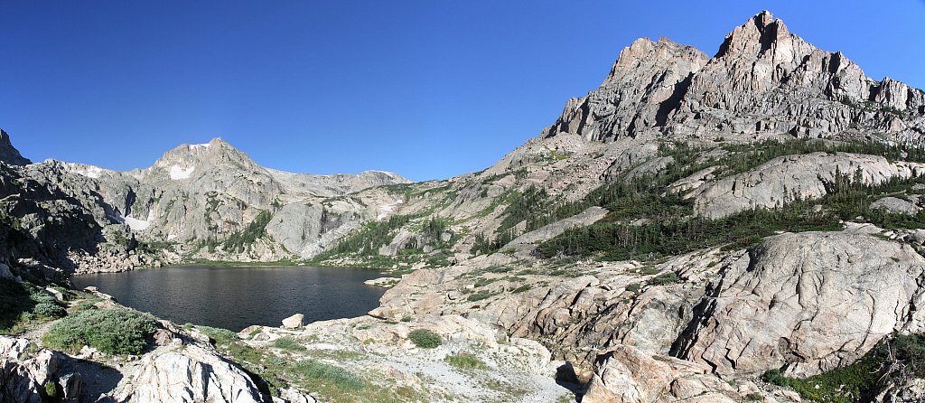
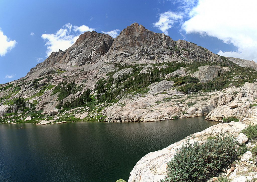
At Dream Lake the trail branches - Emerald to the right, Haiyaha to the left. The trail rises above Dream Lake (sometimes visible through thick trees) before coming to a rocky outcroping affording a nice view of Longs Peak. After the trail junction (with the unimproved trail that descends to the Mills/Loch trail junction), continue to the right. The trail goes through a boulder field before ending at the lake.
