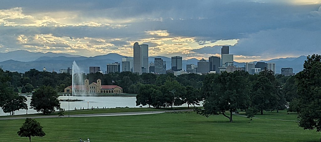
Denver (1 new item)
Early days yet on this page - I need to dig through the archives.
Early days yet on this page - I need to dig through the archives.
Trailhead: Long Lake
Via: Lake Isabelle
Distance: 4.4 mi
Elevation Change: 1,510'
After departing Lake Isabelle, the trail climbs past a scenic cascades. Shortly after the cascades, the trail reaches a bench filled with a sea of willow. Cross the stream to the south before winding back to another stream crossing. On the northern shore of an unnamed tarn, the trail climbs the steep slope using many switchbacks. The trail gets less steep near the top before finally topping out on a pile of talus at the foot of the glacier.
Trailhead: Long Lake
Distance: 1.4 mi
Elevation Change: 159'
The trail is wide and nearly level, making for an easy hike. Consider using the Jean Lunning Loop Trail to make a loop instead of an out-and-back.
Trailhead: Long Lake
Via: Long Lake
Distance: 2.1 mi
Elevation Change: 353'
Continue on the trail from Long Lake. There are few views in the forest, but keep an eye peeled for a view of the outlet of Lake Isabelle. The trail gets steeper as you approach Lake Isabelle.
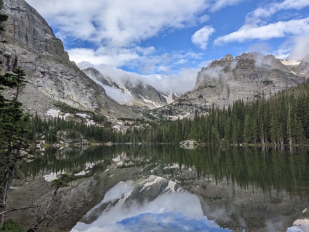
Also sometimes called Lake of Glass.
Trailhead: Glacier Gorge
Via: The Loch
Distance: 4.2 mi
Elevation Change: 1,640'
The trail continues past the Loch, crossing Andrews Creek and meeting the spur trail to Andrews Tarn. Stay on the main trail as it bends south. When the trail exits the trees it gets quite steep, ascending numerous stone steps to Timberline Falls. A few yards west of the falls, the trail ascends a steep broken cliff and is often wet with falling water. From the top of the falls, Glass Lake is just a few more steps.
Trailhead: Glacier Gorge
Via: Glass Lake
Distance: 4.4 mi
Elevation Change: 1,720'
After reaching Glass Lake, the trail goes over rock slabs northwest of the lake before descending again toward the western shore. After this, the trail undulates a bit, passing through dense shrubbery before topping out on the bench holding Sky Pond.
Trailhead: Glacier Gorge
Distance: 2.9 mi
Elevation Change: 1,000'
The distance cited above is based on hiking by Alberta Falls. Taking the "Fire" trail reduces the distance by about a half mile. The trail by Alberta Falls is one of the most popular in the park, so be prepared for crowds at all times of year. After Alberta Falls, the trail skirts the south flank of East Glacier Knob before arriving at the junction of trails to Mills Lake, The Loch, and the unimproved Haiyaha trail (as well as the "Fire" trail). Follow the signs to the Loch. The trail zig zags up the hillside north of Icy Brook before depositing the hiker on the east shore of the Loch.
In winter, from the trail junction simply proceed up Icy Creek to the lake.