Share Album Published August 30, 2022 
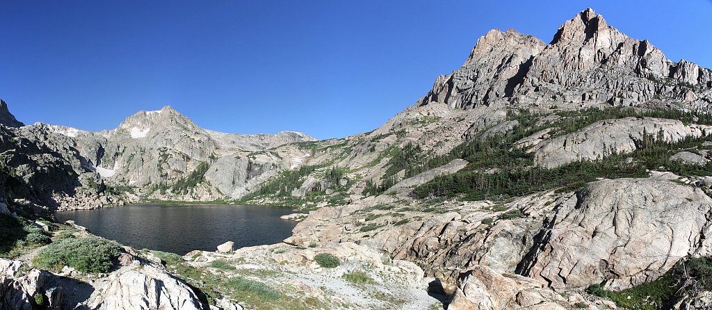
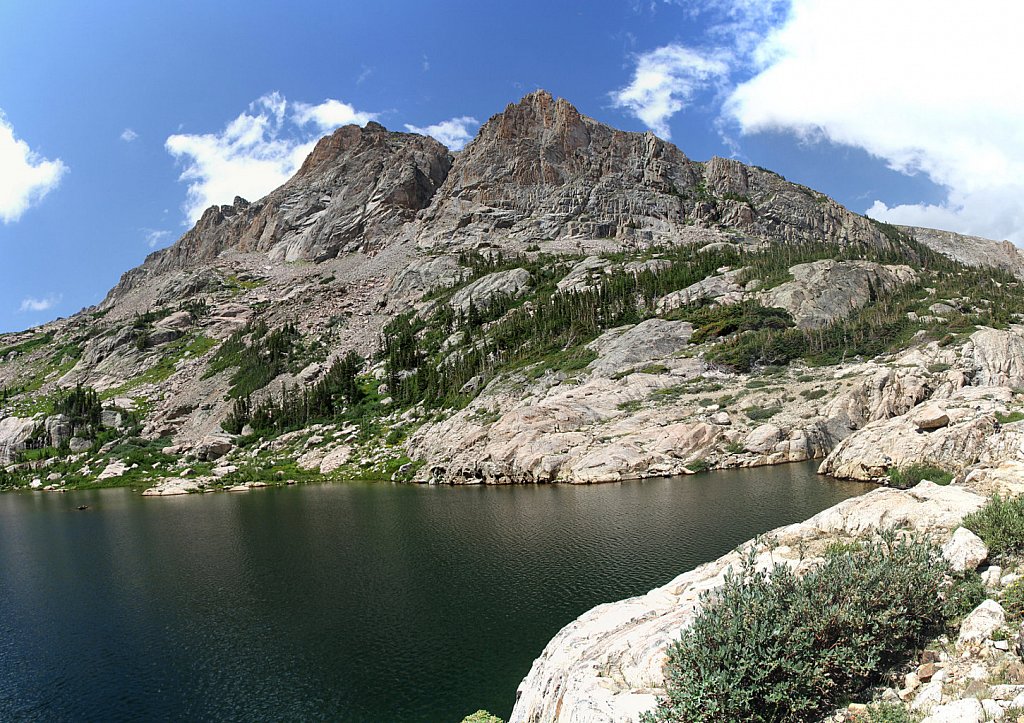
Lake of the Clouds (8 new items) Trailhead: Colorado River Distance: 7.0 mi Elevation Change: 2,390' Hike north from the trailhead to the Red Mtn trail junction. Turn west and cross the Colorado River. The trail makes three stream crossings before arriving at the Grand Ditch. Continue north and cross the ditch at Big Dutch Creek. This trail peters out in a boulder field. Climb the grassy ramp to the right of the falls to reach the lake.
Share Album Published August 20, 2022 Lake Dorothy Trailhead: Fourth of July Distance: 3.7 mi Elevation Change: 1889' Other than only two sets of switchbacks, the trail ascends steadily to Arapaho Pass. The Fourth of July mine is along the way, at the junction with the trail to the overlook for Arapaho Glacier.
Share Album Published August 9, 2022 Frigid Lake Trailhead: Wild Basin Via: Isolation Lake Distance: 8.8 mi Elevation Change: 3,320' At Isolation Lake, climb to the saddle between Mahana Peak and Isolation Peak. Descend about 500' across tundra and talus (and perhaps snow) to a small ridge on the south of Frigid Lake. Descend the ridge to the north to the shore of Frigid Lake.
Share Album Published August 9, 2022 Isolation Lake Trailhead: Wild Basin Via: Bluebird Lake Distance: 7.8 mi Elevation Change: 3,480' At Bluebird Lake, cross the outlet and work your way uphill keeping to the south. The route alternates between steep climbs and nearly level benches. The last push to the lake is through a large talus field.
Share Album Published August 4, 2022 Bluebird Lake (1 new item) Trailhead: Wild Basin Distance: 6.3 mi Elevation Change: 2,478' From the Wild Basin Trailhead follow the Thunder Lake trail for 3.4 miles past Calypso Cascades and Ouzel Falls to the Bluebird/Ouzel trail. This trail turns south and climbs to the top of a ridge which was burned in the Ouzel fire in 1978, giving open vistas of the surrounding mountains. From the junction with the Ouzel Lake trail to Bluebird Lake is about 1.7 miles and climbs a thousand feet, passing through fields thick with wildflowers.
Share Album Published August 3, 2022 Bluebird Lake (1 new item) Trailhead: Wild Basin Distance: 6.3 mi Elevation Change: 2,478' From the Wild Basin Trailhead follow the Thunder Lake trail for 3.4 miles past Calypso Cascades and Ouzel Falls to the Bluebird/Ouzel trail. This trail turns south and climbs to the top of a ridge which was burned in the Ouzel fire in 1978, giving open vistas of the surrounding mountains. From the junction with the Ouzel Lake trail to Bluebird Lake is about 1.7 miles and climbs a thousand feet, passing through fields thick with wildflowers.