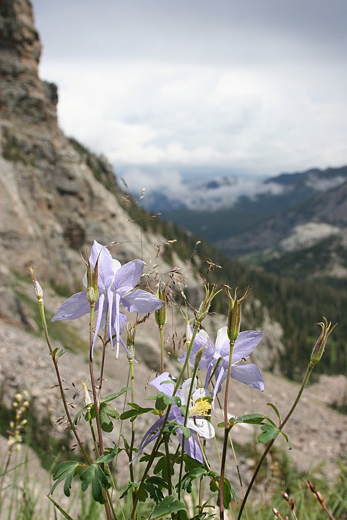
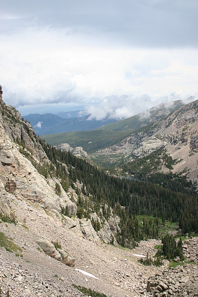
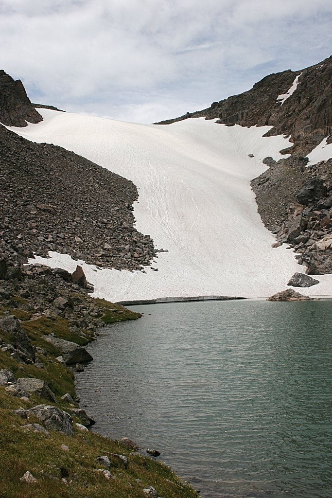
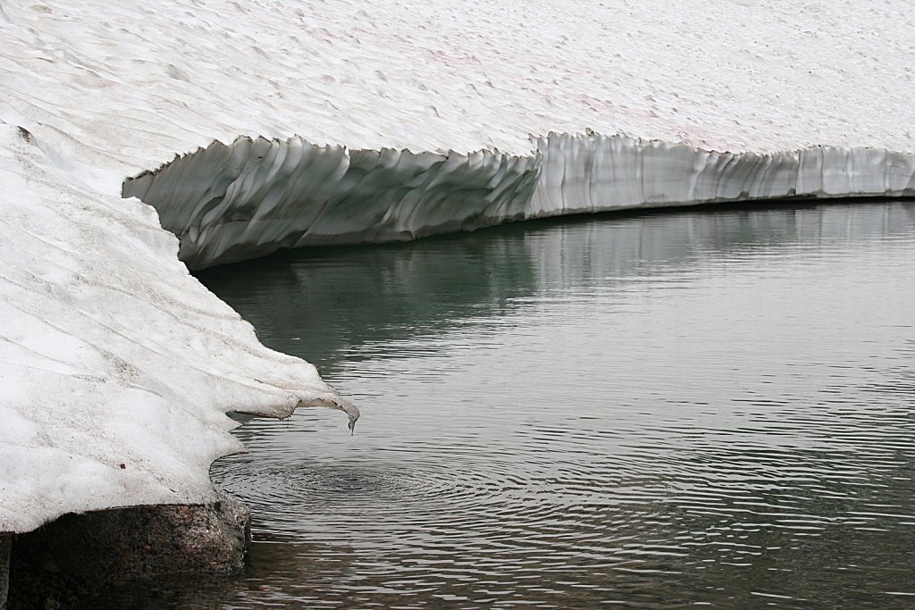
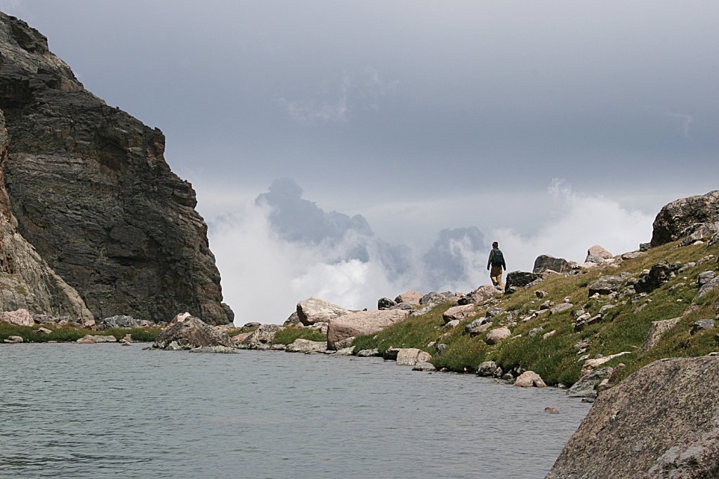
Andrews Tarn
Trailhead: Glacier Gorge
Via: The Loch
Distance: 4.6 mi
Elevation Change: 2,200'
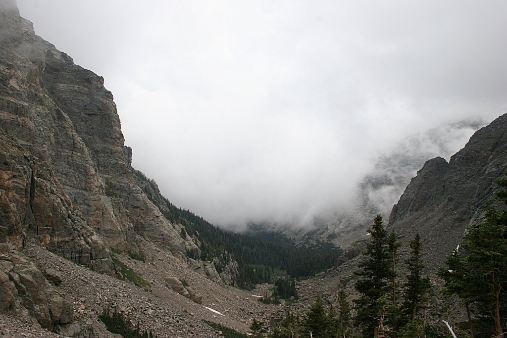
About a quarter mile up the trail from the Loch, the Loch Vale trail crosses Andrews Creek. Make a right turn here on the the Andrews Creek Trail. While passing through the forest this trail climbs slowly, but once out of the trees the trail climbs quite steeply - about a thousand feet in a half mile.