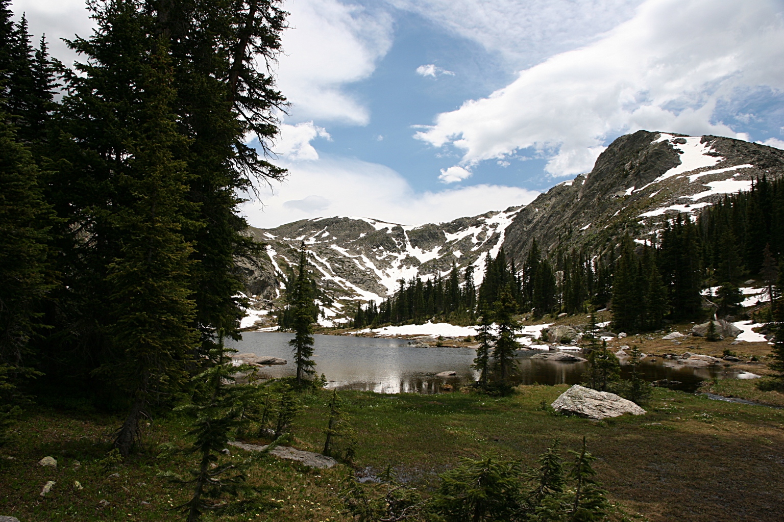
| Trailhead | Timber Lake Trailhead |
| Starting Elevation | 9.043′ (2,756m) |
| Ending Elevation | 11,082′ (3,378m) |
| Round Trip Distance | 10.2 mi (16.4 km) |
| Route Description | After passing through a mature stand of aspen, the trail climbs along the southwestern flank of Jackstraw Mountain through a forest of lodgepole pine, spruce, and fir. About two miles in, the trail crosses a landslide area from the 2013 floods. At about 4 miles, the trail climbs through some switchbacks, eventually leading to a meadow and then the lake. |
| Blog Entries | August 2026, July 2015 |