- Previous
- /
- Mummy Range
- /
- Next
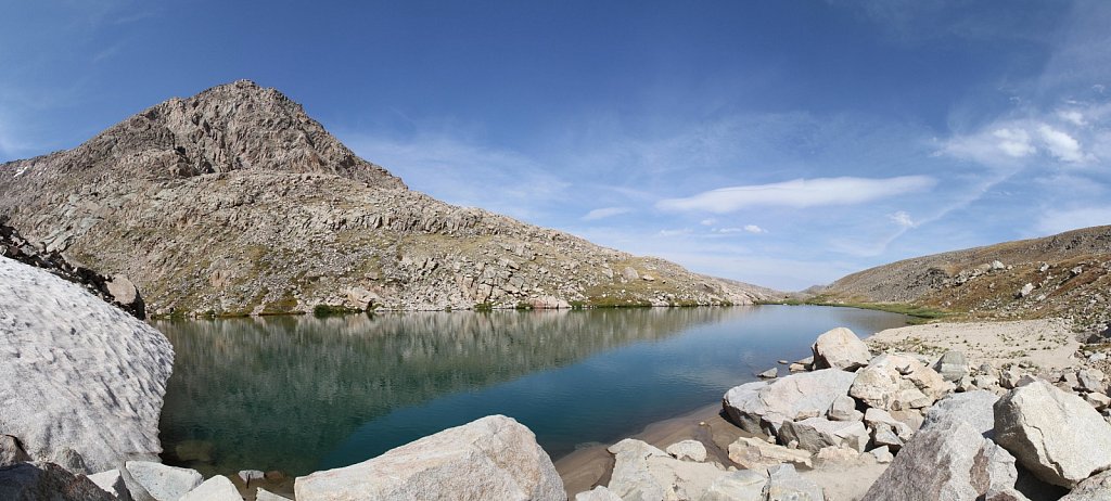
Lake Dunraven, 'Whiskey Lake', and 'Scotch Lake'
Trailhead: Dunraven (North Fork)
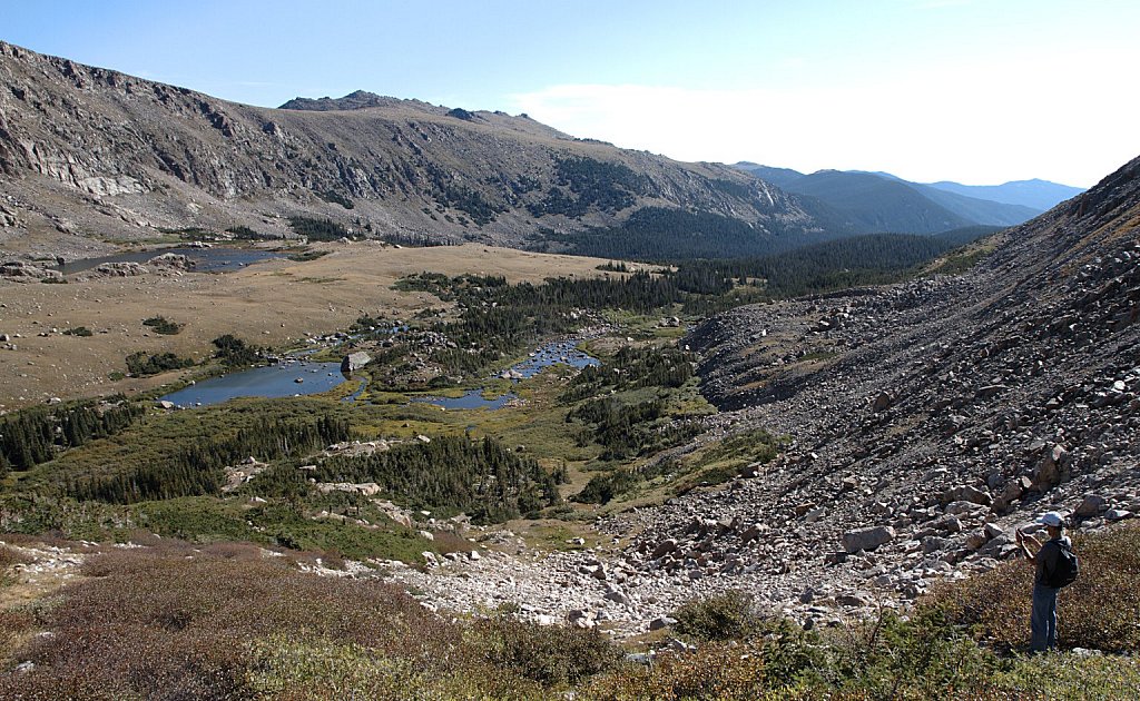
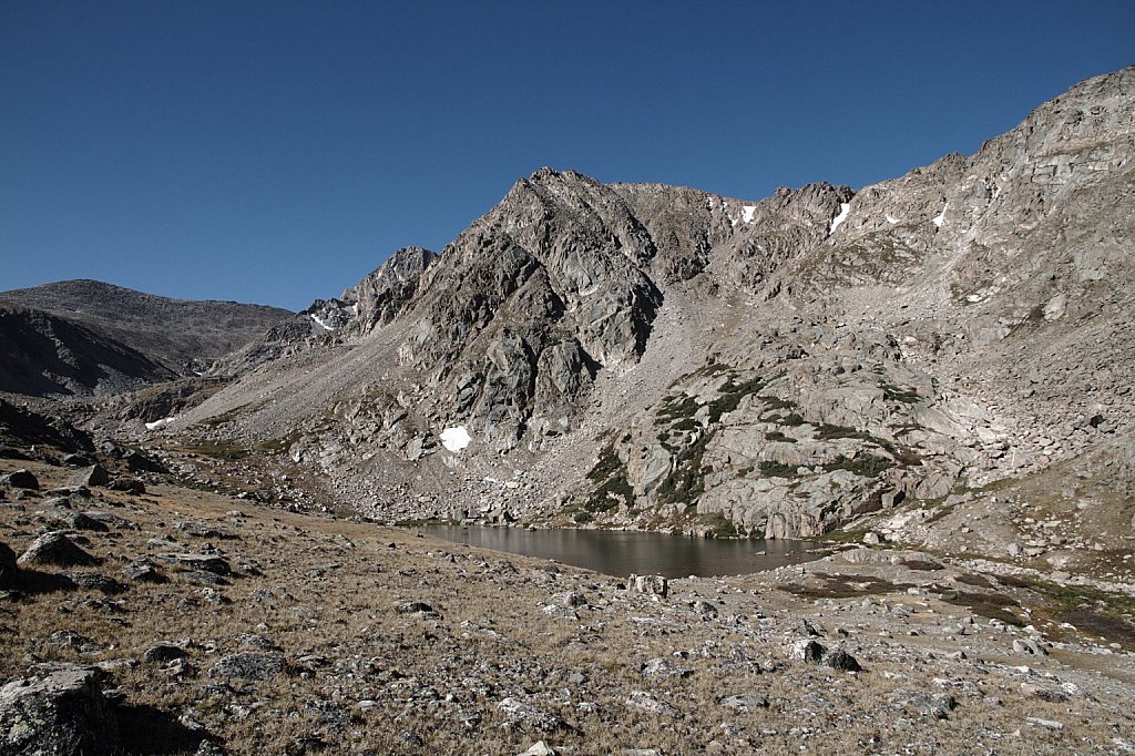
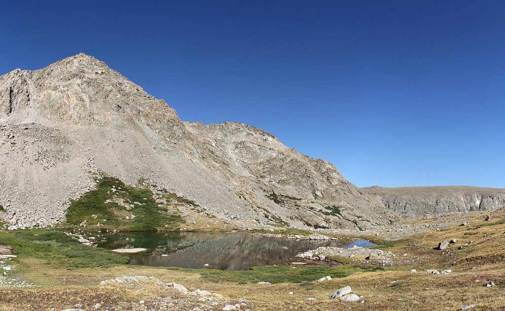
Lake Dunraven
Distance: 11.1 mi
Elevation Change: 3.360'
From Lost Lake, use the trail on the south side of the lake, past the campsites, and climb to the bench that holds Husted. Cross the stream at the southern end of the wetlands. Use game trails to cross the willow and skirt the krummholz. Climb the wide gulley to the top of the ridge. Descend the gentle slope to the southern shore of Lake Dunraven.
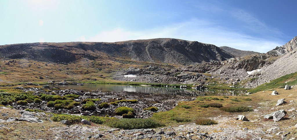
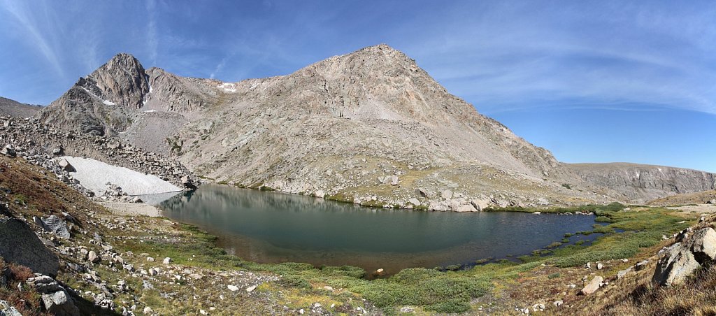
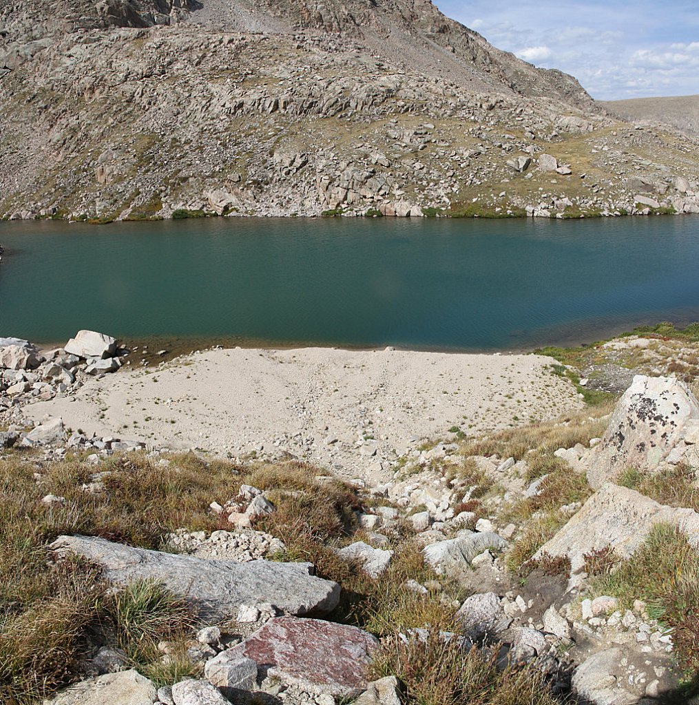
'Whiskey Lake'
Distance: 11.5 mi
Elevation Change: 3,640'
From Lake Dunraven, I crossed the stream close to Dunraven and went up the tundra ramp up to Whiskey.
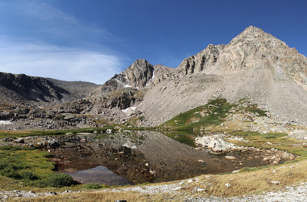
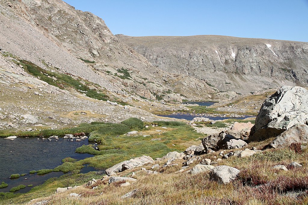
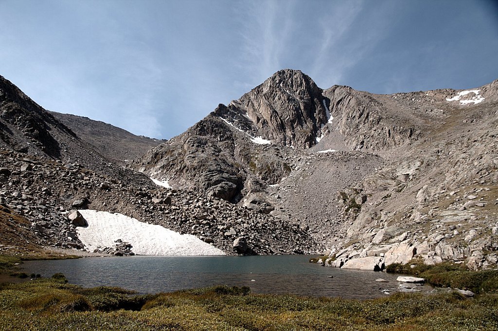
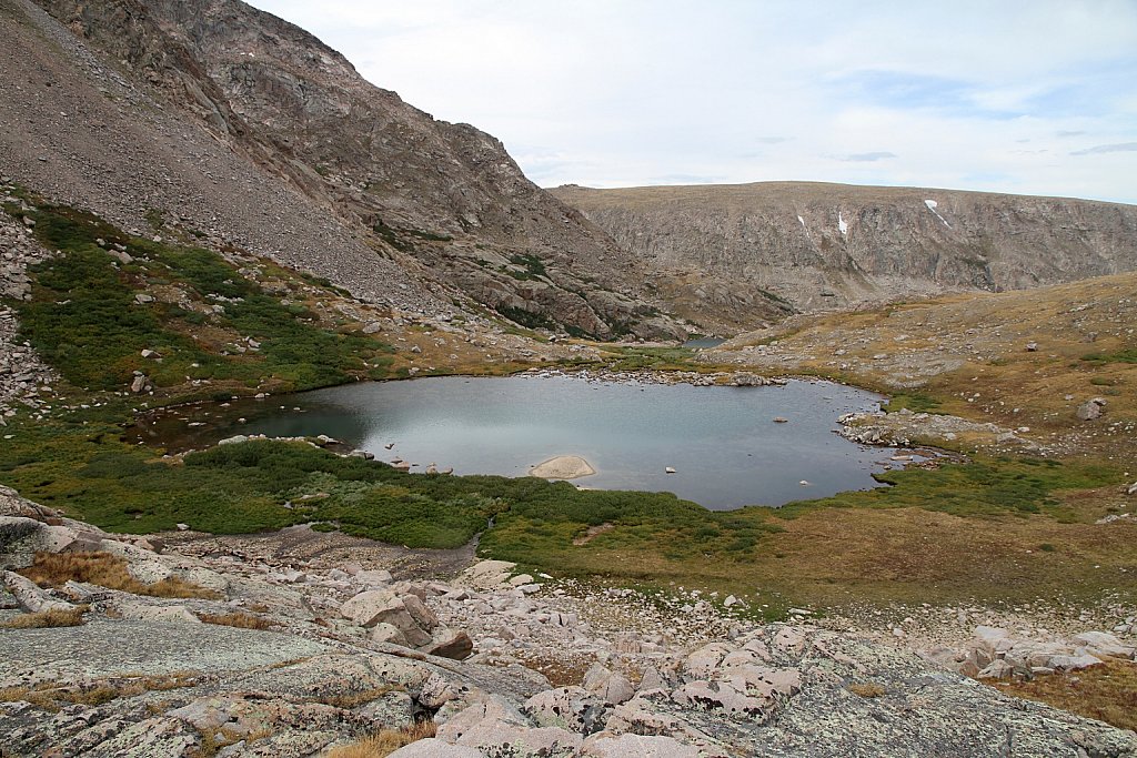
'Scotch Lake'
Distance: 11.7 mi
Elevation Change: 3,720'
I crossed the outlet to the east side of Whiskey and then south to a shallow tundra ramp up to Scotch Lake.