Gorge Lakes
Trailhead: Milner Pass
Distance: 6.8 mi
Elevation Change: 3,130'
Although net elevation change is only 362', the route takes the hiker to about 300' below the summit of Mount Ida before heading downhill to the lakes. Climb 1,750' in the morning on the way in, another 1,380' in the afternoon on the way out.
Climb the Mount Ida trail to about 12,500' elevation, then leave the trail and contour along the ridge below 'Jagor Point'. Hike north along the spine of the ridge to treeline and a grassy ramp down to 'Lake Amore'. Go south to Love Lake and Arrowhead Lake.
An ambitious hiker can continue on to Doughnut Lake, Inkwell Lake, Azure Lake, and Highest Lake.
-
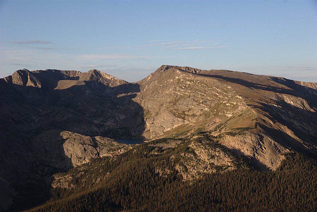
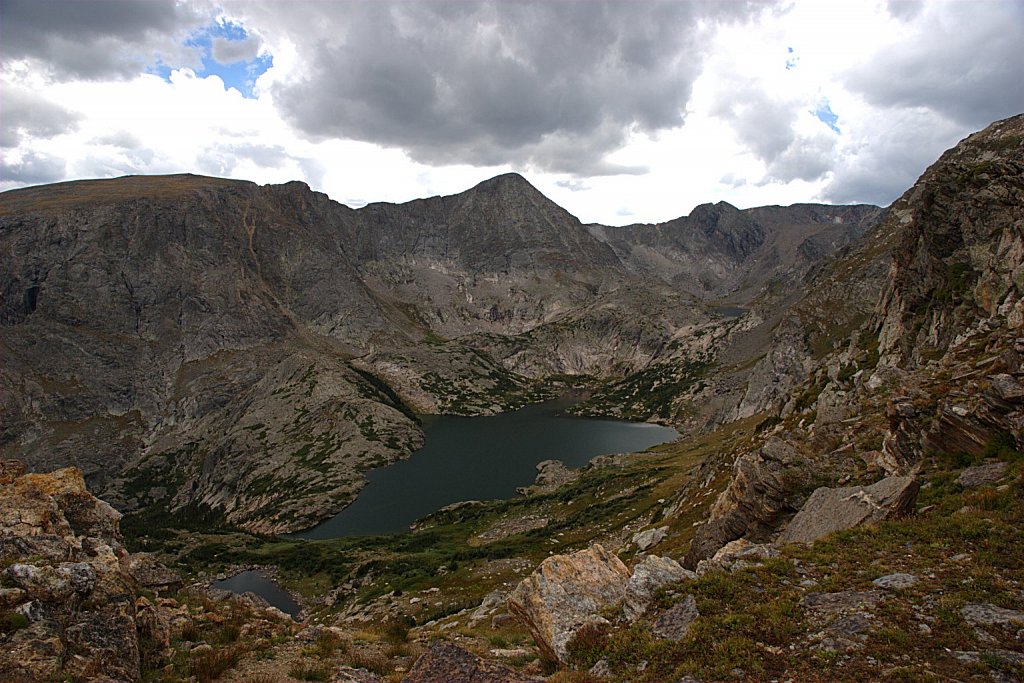
View from Rock Cut
Gorge Lakes as seen from the Rock Cut parking lot on Trail Ridge road. The lakes are reached by hiking down the grassy slopes on t…
-
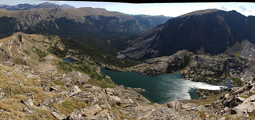
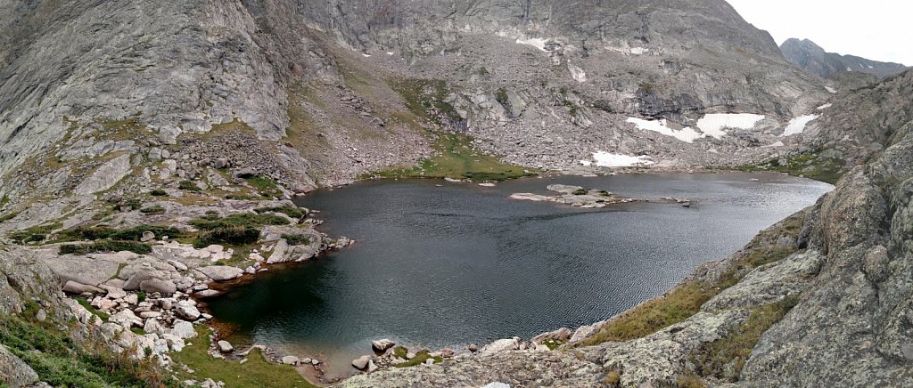
Gorge Lakes pano
Seven lakes are visible in this photo. At the top left you can see Trail Ridge Road.
-
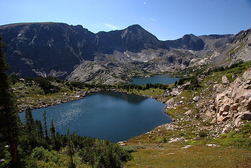
Love Lake and Arrowhead Lake
-
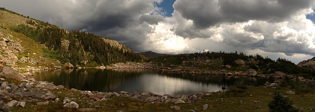
Gathering Storm
The rains that caused the 2013 floods began shortly after this picture was taken.
-
Arrowhead Lake
-
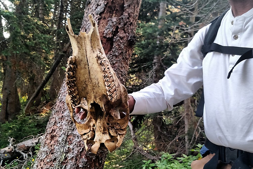
Skull
-
Doughnut Lake
-
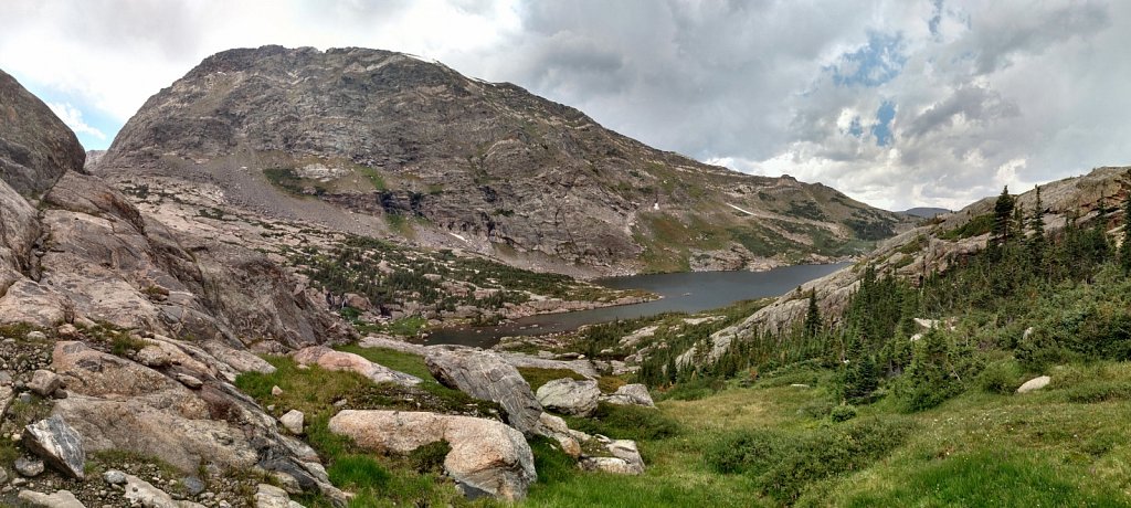
Arrowhead Lake
-
Doughnut Lake
-
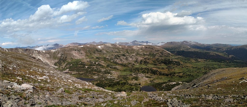
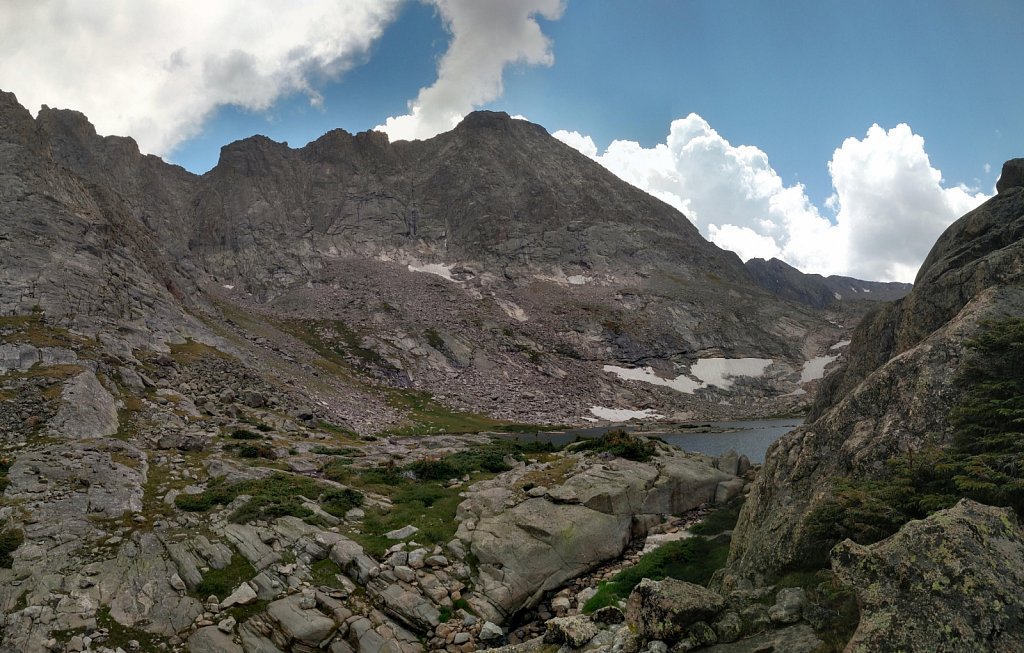
Ridgeline View
This panorama shows the view to the west and north from the ridge above the west side of Arrowhead Lake.
-
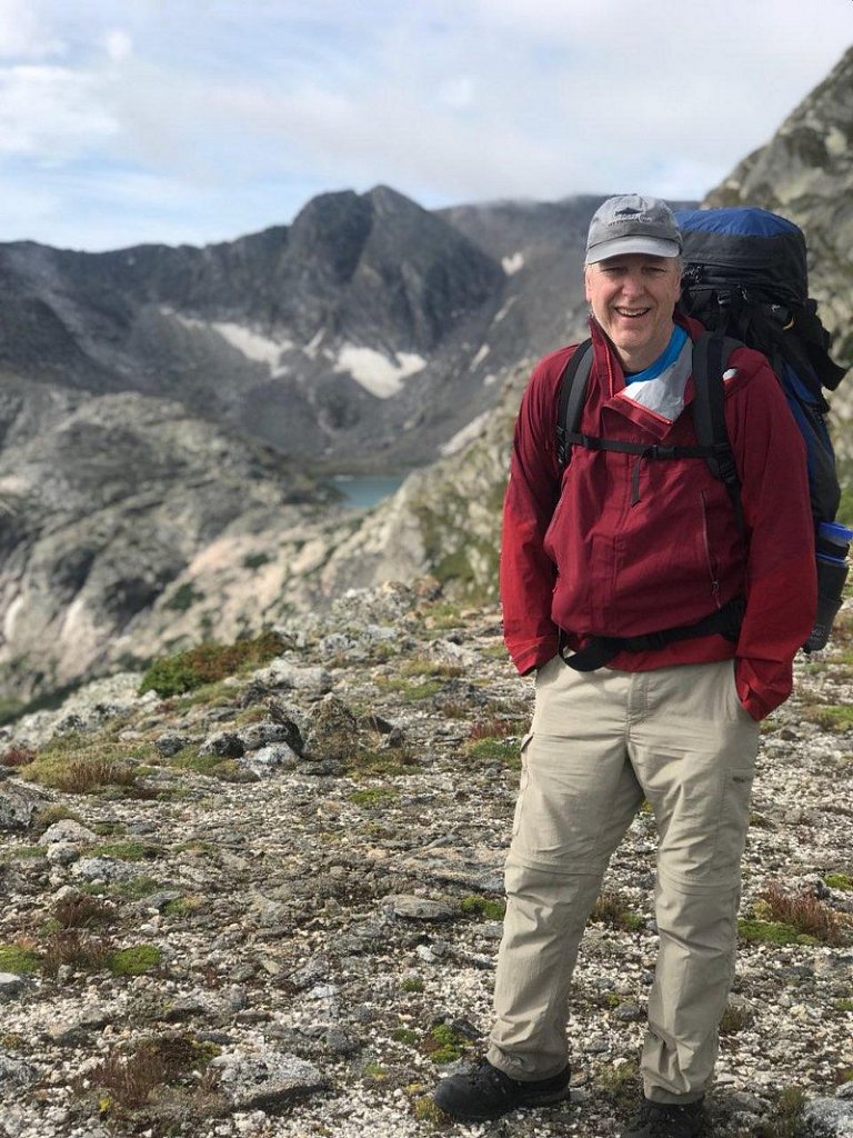
Yours Truly