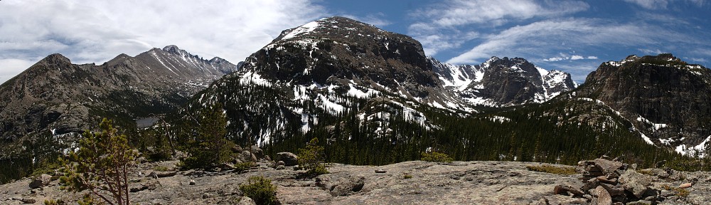
| Trailhead | Glacier Gorge Trailhead |
| Starting Elevation | 9,185′ (2,800 m) |
| Ending Elevation | 10,191′ (3,106 m) |
| Round Trip Distance | 4.2 mi (6.8 km) |
| Route Description | From the bus stop/parking lot, take the trail about a quarter of a mile (0.4 km) to the second trail junction and go left. Find the Fire Trail a few yards after the bridge and follow it 0.9 miles (1.4 km) back to the main trail. Go right a few yards (meters) to the next trail junction. Take the middle trail three-quarters of a mile (1.2 km) to The Loch. |
| Blog Entries | October 2018, April 2014, others |


