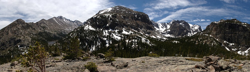
| Trailhead | Milner Pass |
| Starting Elevation | 10,747′ (3,276 m) |
| Ending Elevation | 12,874′ (3,924 m) |
| Round Trip Distance | 9.4 mi (15.1 km) |
| Route Description | Follow the trail 0.9 miles (1.5 km) through subalpine forest to a trail junction. Take a right turn. Reach treeline four-tenths of a mile later (0.6 km). From there to the summit, the trail is fairly obvious, although it splits and rejoins itself a time or two. |
| Blog Entry | July 2024 |


