| Trailhead | Chapin Creek Trailhead |
| Starting Elevation | 11.026′ (3,361 m) |
| Ending Elevation | 12,454′ (3,796 m) |
| Round Trip Distance | 4.0 mi (6.4 km) |
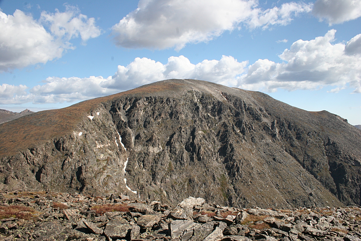
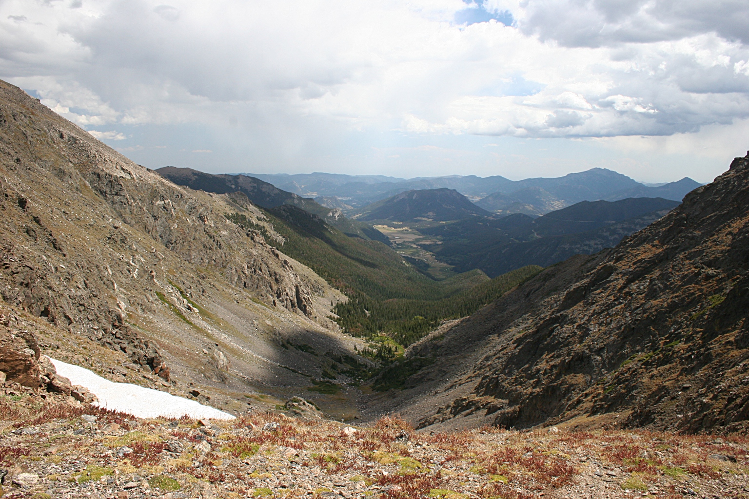
| Route Description | From the trailhead, go north 0.2 miles (0.3 km) to Chapin Pass. Turn east here and go through .75 miles (1.2 km) to treeline. A faint trail continues east to the pass between Mt. Chapin and Mt. Chiquita. From here, hike south 0.3 miles (05. km) to the summit of Mt. Chapin |