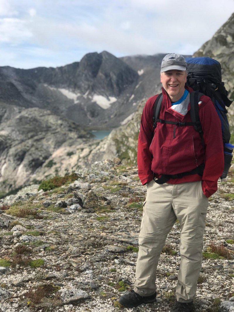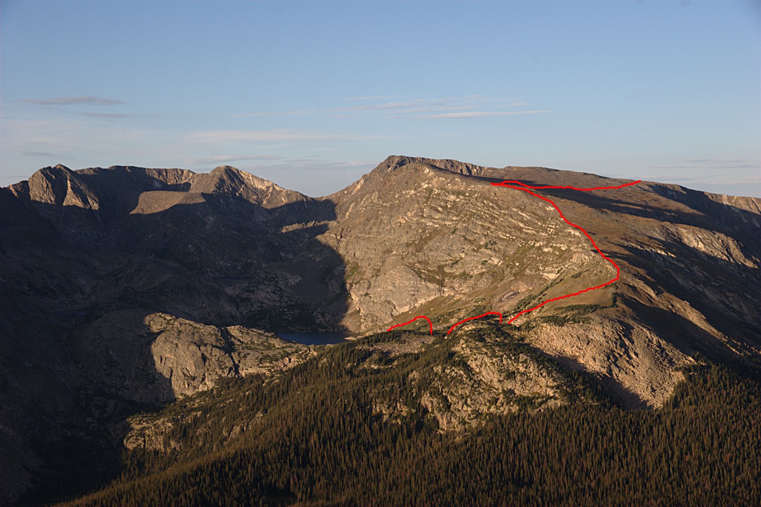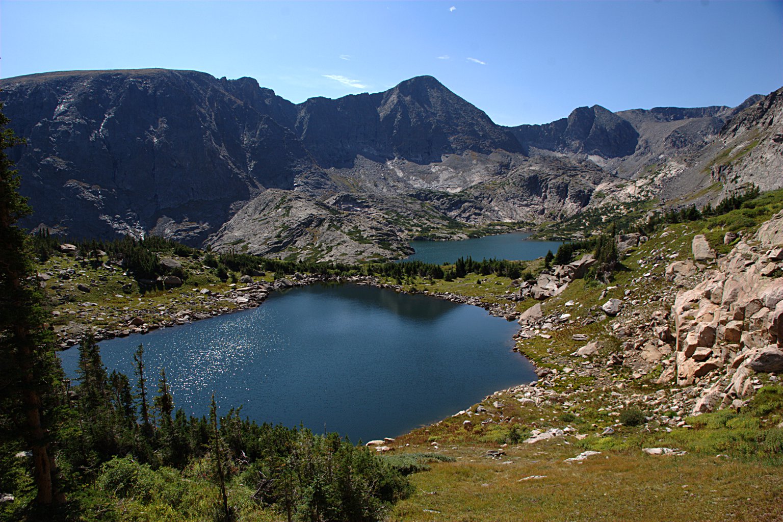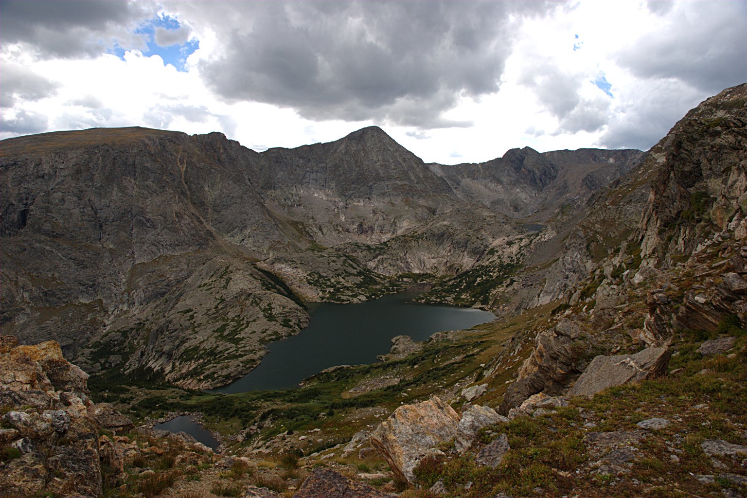
Some of these lakes are visible from the Rock Cut parking lot on Trail Ridge Road. Some trail guides suggest starting there. I started at Milner Pass. After two attempts at reaching all these lakes, it seems Highest, Azure, and Inkwell Lakes are out of my range.
| Trailhead | Milner Pass |
| Starting Elevation | 10,747′ (3,276 m) |
| Ending Elevation | Varies |
| Round Trip Distance | Varies |
| Route Description | At Milner Pass, take the Mt. Ida trail to the ridge at about 12,400′ (3,780 m) elevation, then head northeast along the ridge. At the end of the ridge circle to the right and down to “Amour Lake” and Arrowhead Lake. From there, you’re on your own. |
| Blog Entries | September 2013, August 2018 |