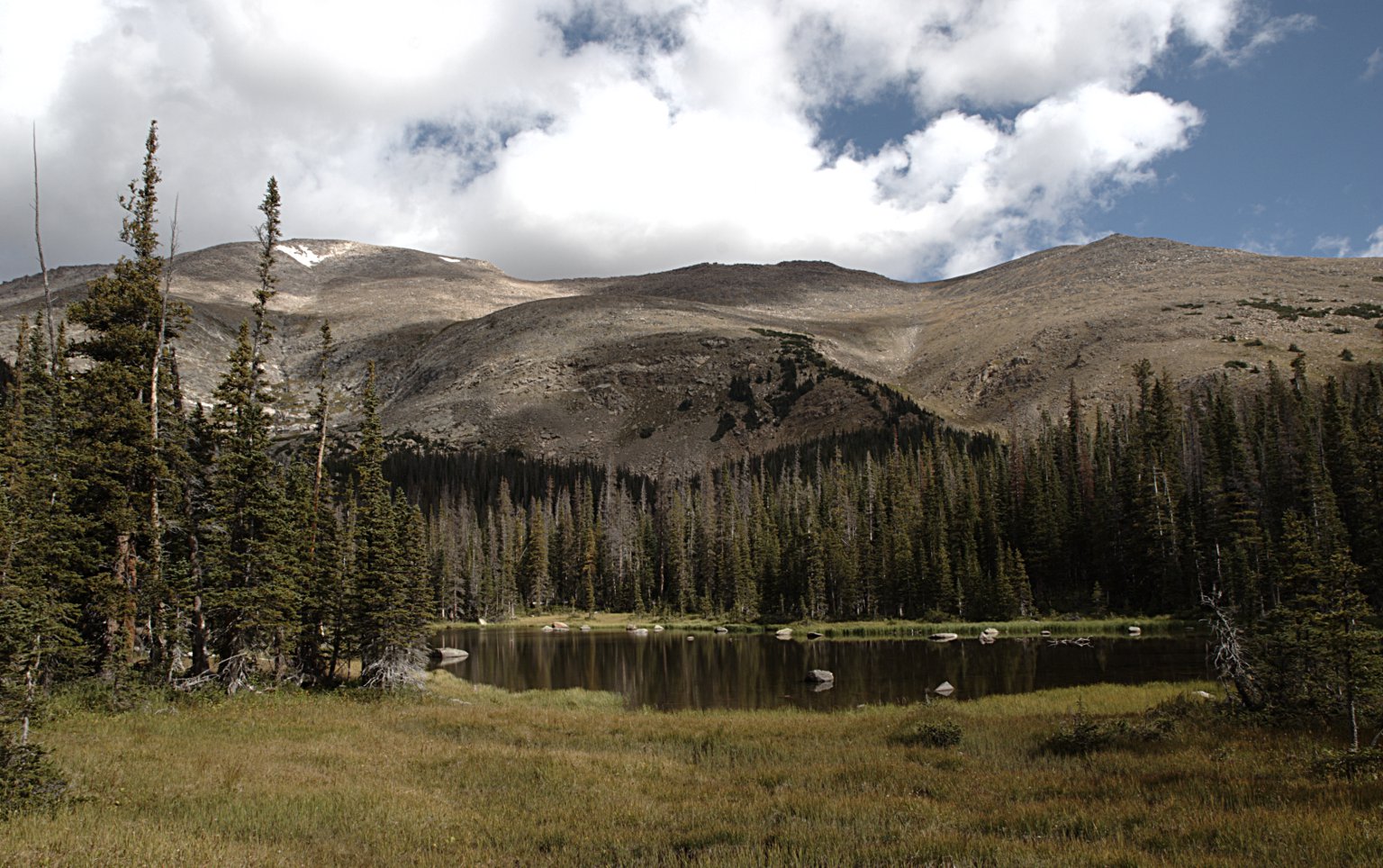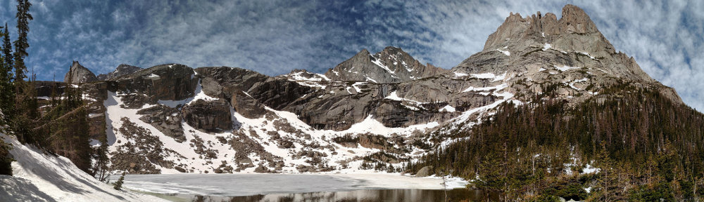
| Trailhead | Lawn Lake Trailhead |
| Starting Elevation | 8,533′ (2,601 m) |
| Ending Elevation | Lower: 10,738′ (3,273 m) Middle: 11,004′ (3,354 m) Upper:11,199′ (3,413 m) |
| Round Trip Distance | Lower: 9.8 mi (15.8 km) Middle: 10.7 mi (17.2 km) Upper: 11.6 mi (18.7 km) |
| Route Description | Hike along the southern shore of Ypsilon Lake and cross the outlet stream. Bushwhack northeast through dense forest with no landmarks for 0.6 miles (1 km) to the lower lake. Follow the lower lake’s inlet stream to the middle lake (0.5 miles, 0.8 km), repeat to get from the middle to the upper lake. |
| Blog Post | September 2015 |