| Trailhead | Lawn Lake Trailhead |
| Starting Elevation | 8,533′ (2,601 m) |
| Ending Elevation | 11,353′ (3,460 m) |
| Round Trip Distance | 9.9 mi (15.9 km) |
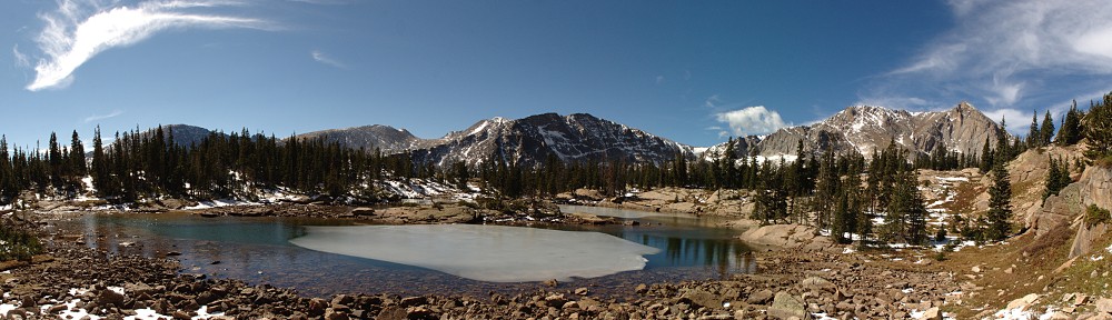
| Route Description | From Ypsilon Lake, hike along the west shore to the base of a waterfall. Follow the faint trail along the stream, then bushwhack 0.2 miles (0.3 km) to where the stream splits. Continue up the left branch, out of the forest, and scramble up the rocks to the shelf that holds Chiquita Lake. |
| Blog Post | September 2011 |


