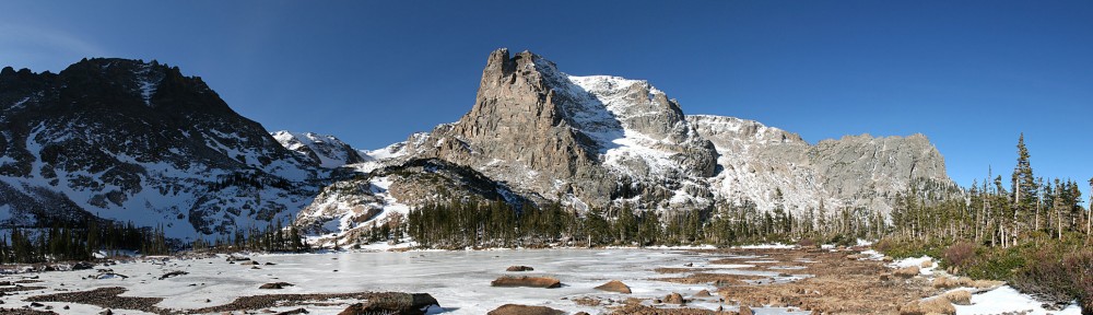
| Trailhead | Glacier Gorge Trailhead |
| Starting Elevation | 9.185′ (2,800 m) |
| Ending Elevation | 11,159′ (3,401 m) |
| Round Trip Distance | 9.2 mi (14.8 km) |
| Route Description | Follow directions to Black Lake. Follow the rough trail along the northeast shore of Black Lake to the inlet stream from the east. Climb this steep slope about 0.4 miles (0.6 km) from Black Lake to 11,000′ elevation (3,352 m). Leave the trail here and work slightly east of due north through patches of willow and over rock slabs to Blue Lake. |
| Blog Entries | June 2016 |


