| Trailhead | Glacier Gorge Trailhead |
| Starting Elevation | 9.185′ (2,800 m) |
| Ending Elevation | 11,356′ (3,461 m) |
| Round Trip Distance | 7.5 mi (12.1 km) |
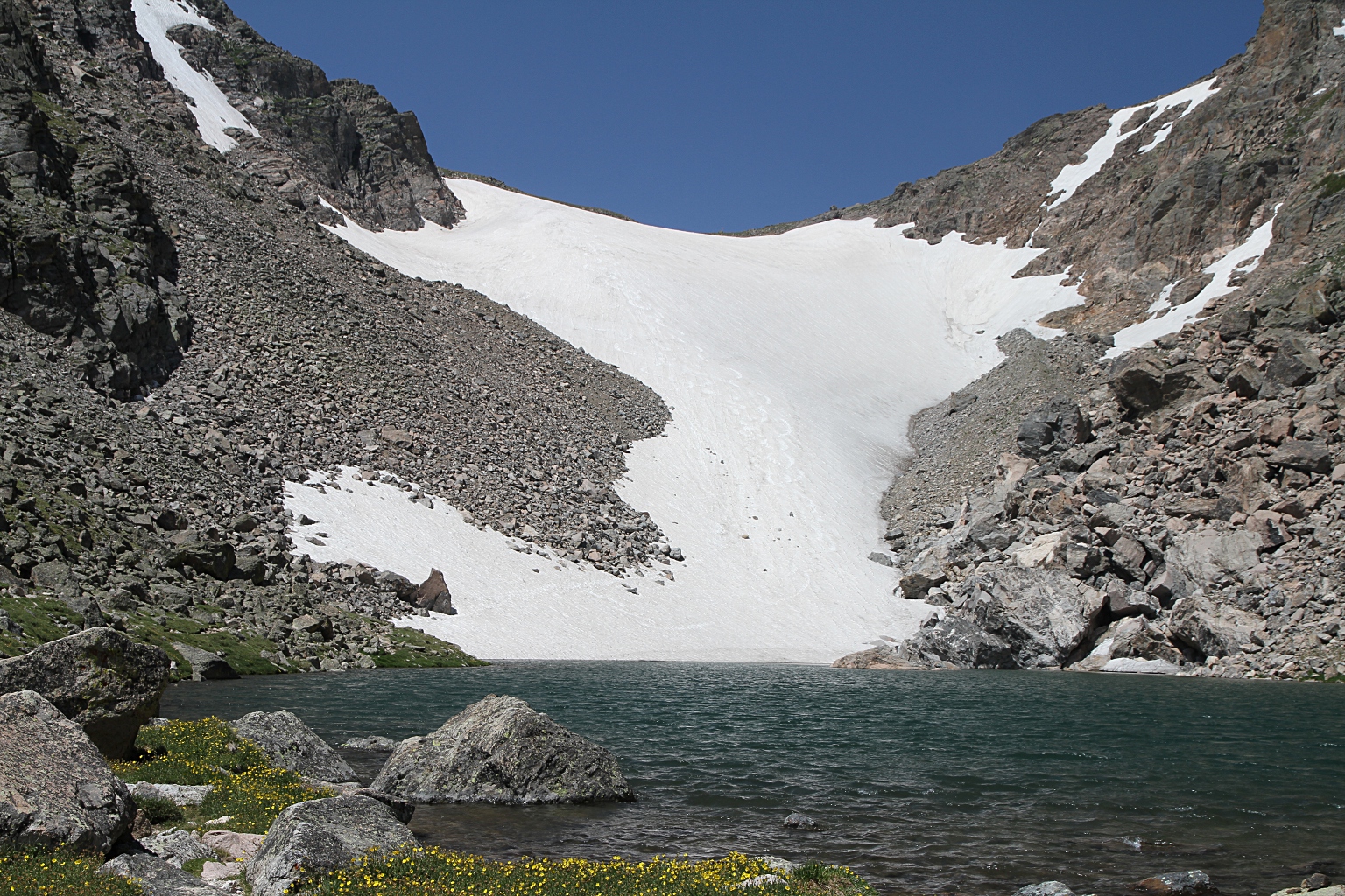
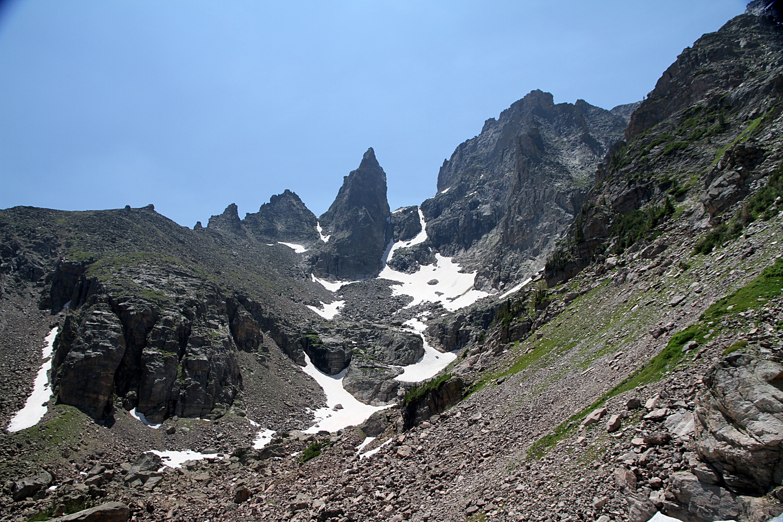
| Route Description | Follow directions to The Loch. From there, continue 0.4 miles (0.6 km) past its western shore to where the trail crosses Andrews Creek. Make a right turn, crossing rock slabs and continuing northward. The trail turns west at the Andrews Creek campsite. After crossing the creek again, continue over rocky terrain to the final steep section to arrive at Andrews Tarn and Glacier. |
| Blog Entries | July 2021 |