- Previous
- /
- Wild Basin
- /
- Next
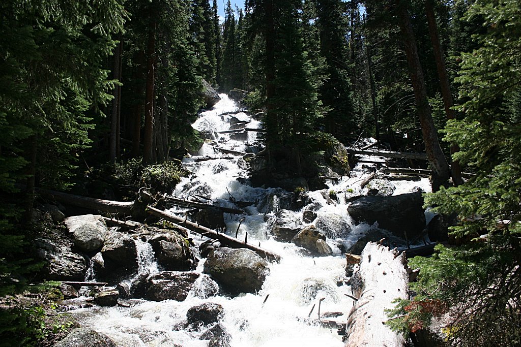
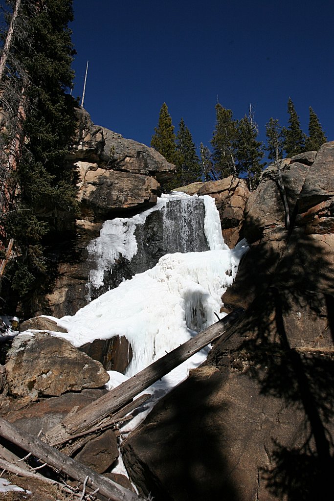
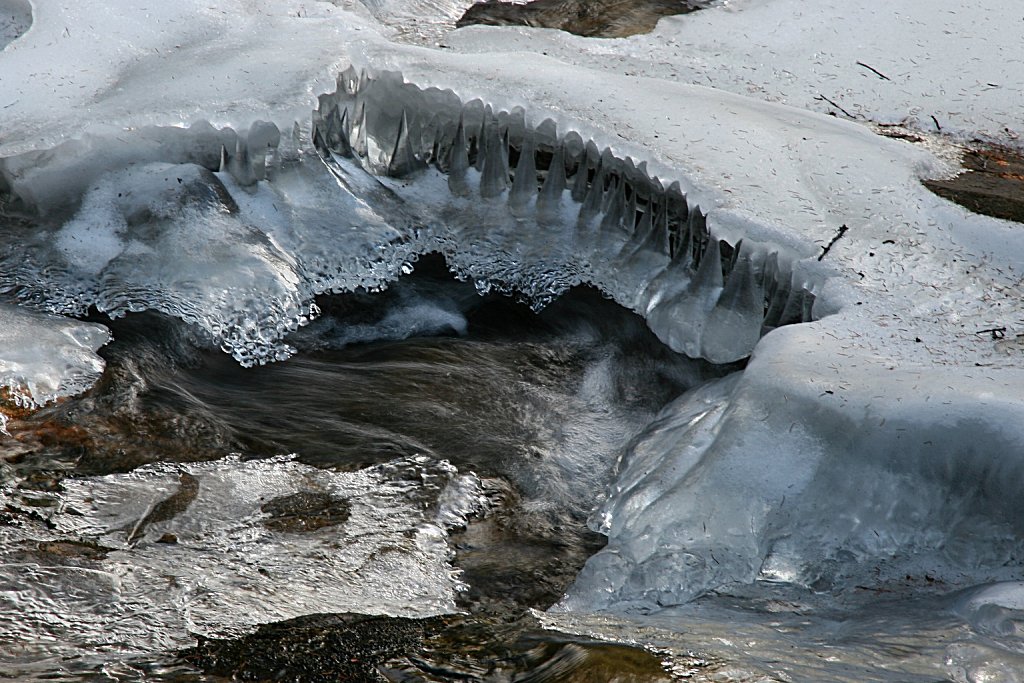
Ouzel Falls
Trailhead: Wild Basin
Distance: 2.7 mi
Elevation Change: 960'
The trail follows North St. Vrain Creek to where Cony Creek flows into it. The trail then climbs next to Cony Creek to Calypso Cascades. The trail winds around a bit, through lower elevation sections of the 1978 burn scar from the Ouzel Fire until it reaches Ouzel Falls.