- Previous
- /
- Mummy Range
- /
- Next
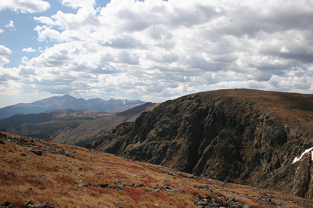
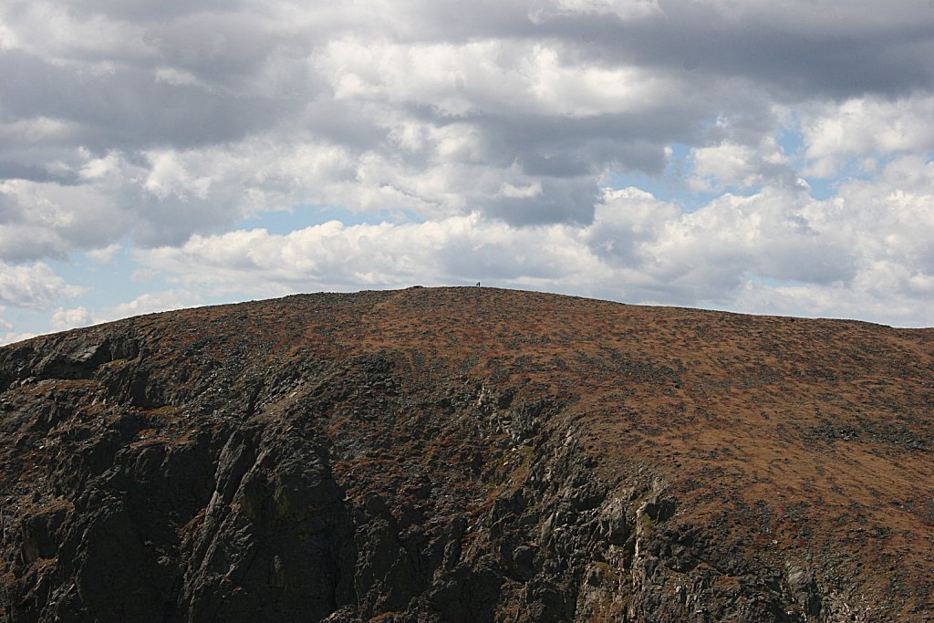
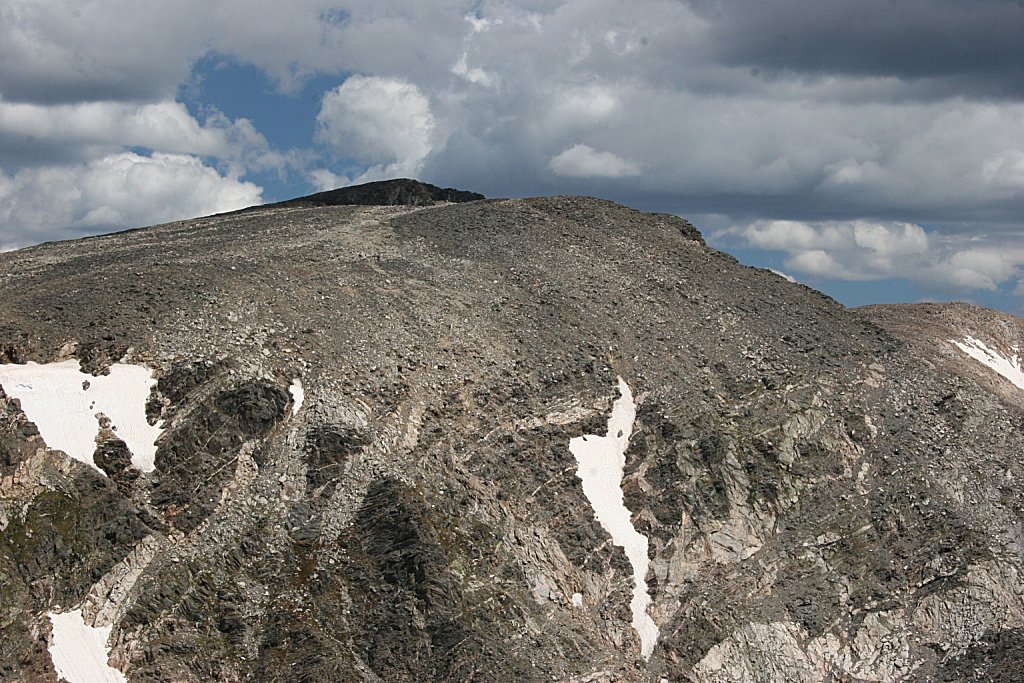
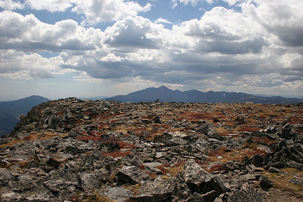
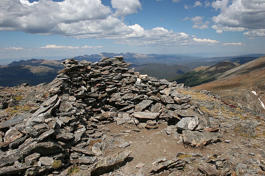
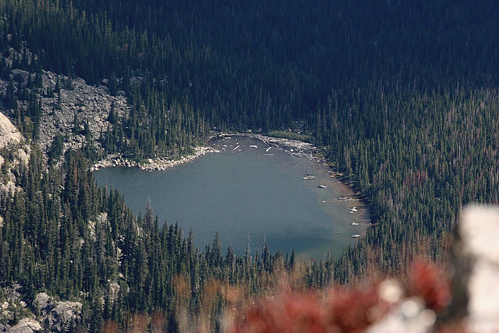
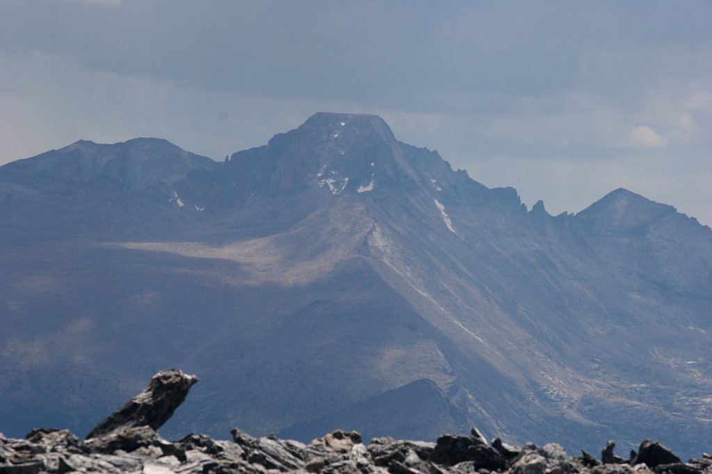
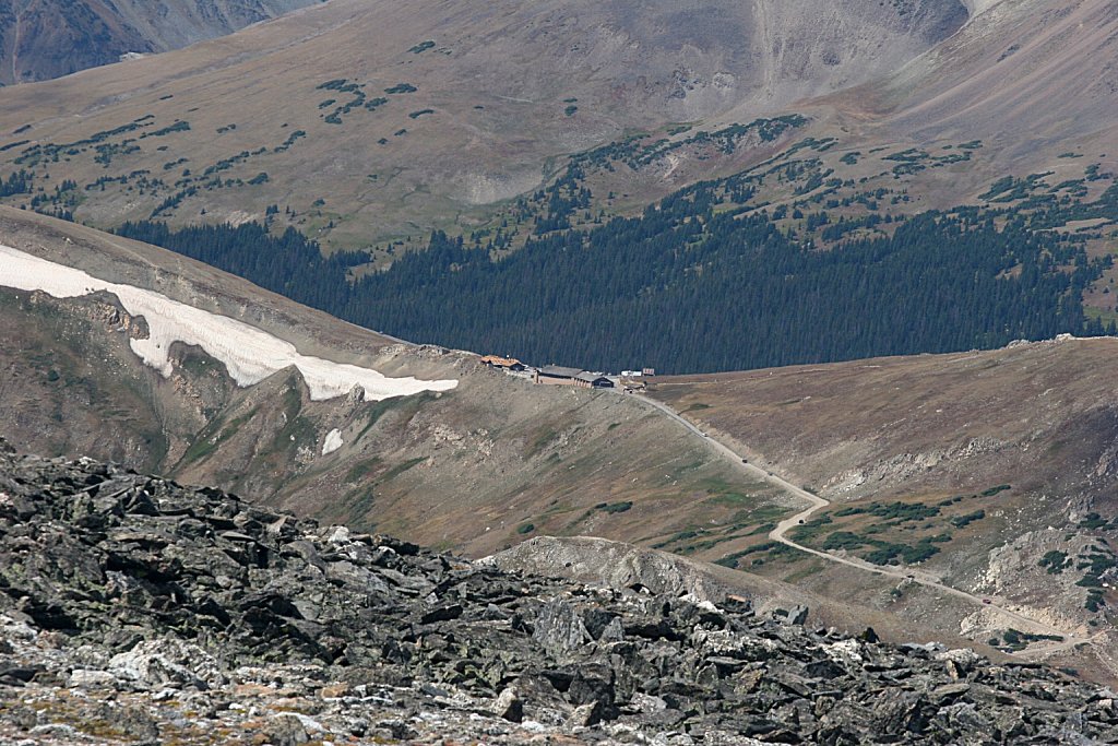
Mt. Chiquita
Trailhead: Chapin Pass
Via: Mt. Chapin
Distance: 3.0 mi
Elevation Change: 2,059'
From the saddle betwee Mt Chapin and Mt Chiquita, head northeast across the tundra about .9 miles to the summit of Mt. Chiquita